
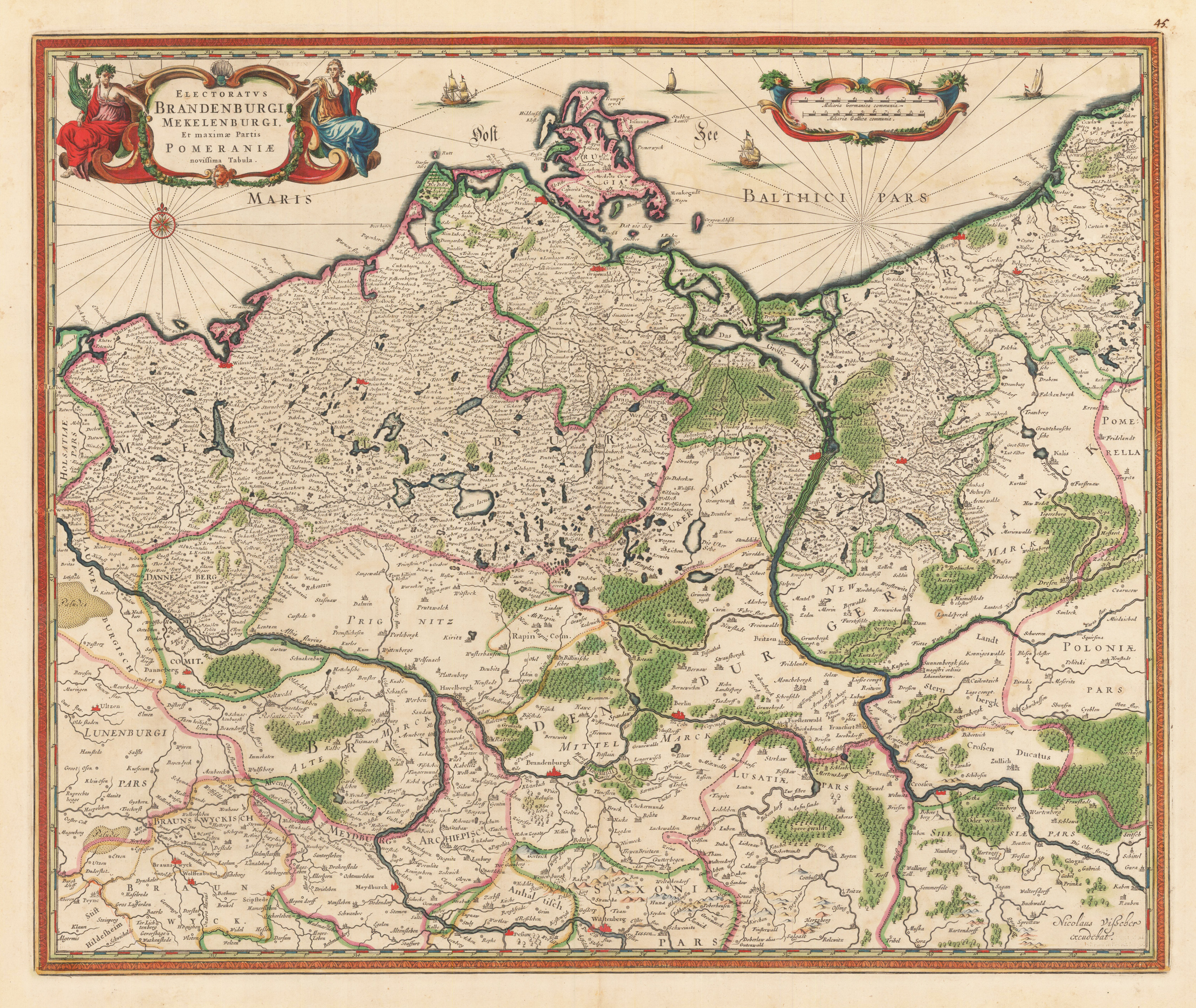
Electoratus Brandenburgi Mekelenburgi. Et maximae Partis Pomeraniae novissima Tabula.
Original anitque copper engraving, hand colored in outline and wash when published. An interesting Visscher map of Brandenburg, including Mecklenburg and part of Pomerania. This map comes from Visscher's compiled 'Atlas Minor siue Geographia Compendiosa, Qua Orbis Terrarum, per paucas attamen novissimas tabulas ostenditu'. A decorative title cartouche with two female figures, presumably flora and fauna, adorns the upper left corner. A compass rose in the area of the Baltic Sea is engraved in the left corner under the cartridge. The original hand color looks fresh and beautiful; verso shows green oxidation. The Atlas Minor is a fine and comprehensive composite atlas and is one of a series of large atlases that were compiled and sold by art dealers and cartographers in the 17th century by the Visscher family. The factory founded by Nicholas Visscher is known for the high quality of the engraving, the exceptionally fine ornamentation and the precise geographical information.
| Category: | Mecklenburg-Vorpommern |
|---|---|
| Issue date: | 1680-90 |
| Published place: | Amsterdam |
| Publisher: | N. Visscher |
| Technique: | Copper engraving / Original color. |
| Type: | map |