
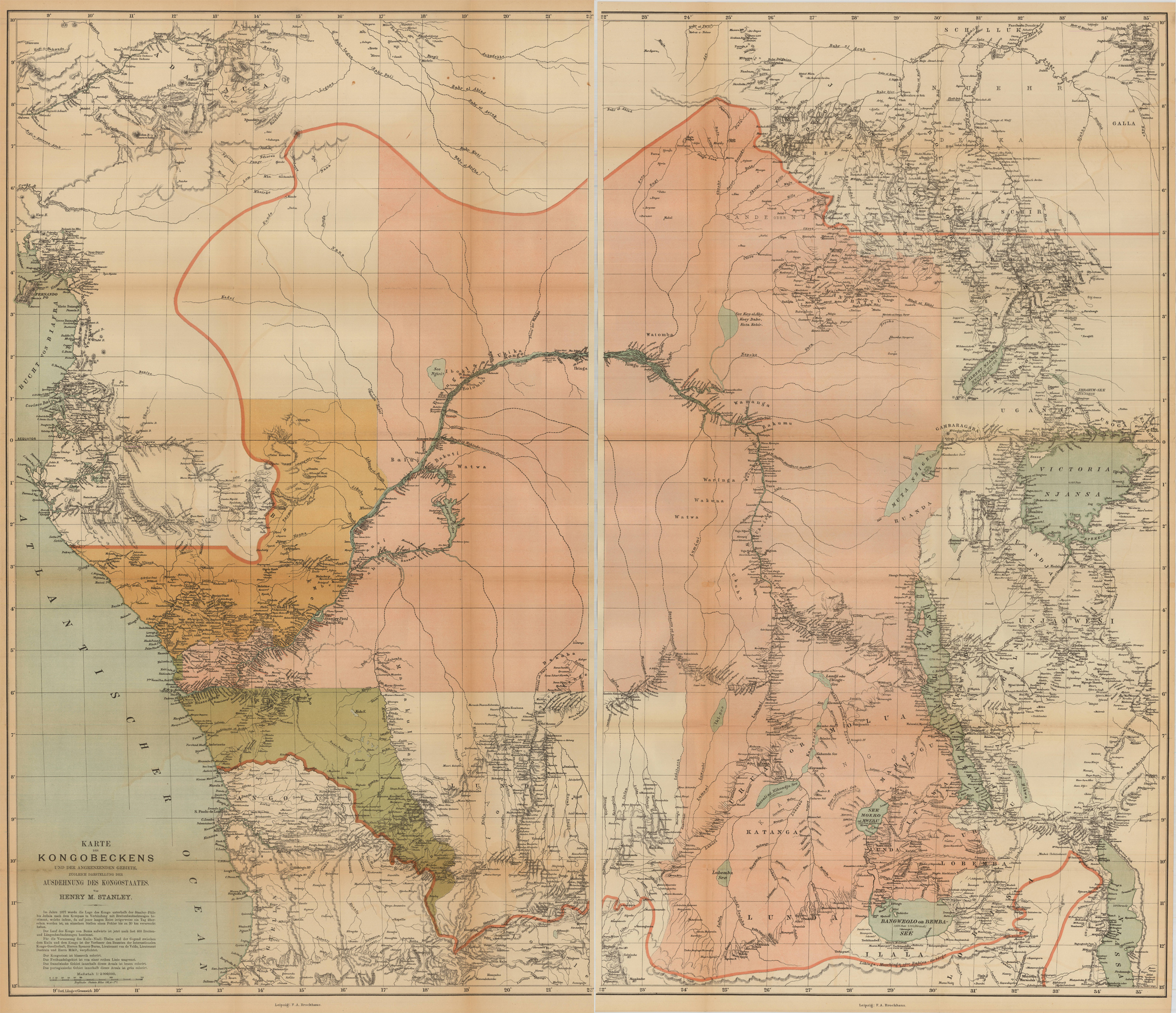
Karte des Kongobeckens und der angrenzenden Gebiete, Zugleich Ausdehnung des Kongostaates. Von Henry M. Stanley
Product information: Karte des Kongobeckens und der angrenzenden Gebiete, Zugleich Ausdehnung des Kongostaates. Von Henry M. Stanley
Original antique chromolithograph, hand colored when published.. Large chromolithographed map of the Congo River Basin.
Properties
| Issue date: | 1877 |
|---|---|
| Published place: | Leipzig |
| Publisher: | Brockhaus |
| Technique: | Chromolithograph, printed in colors. |
| Type: | map |