
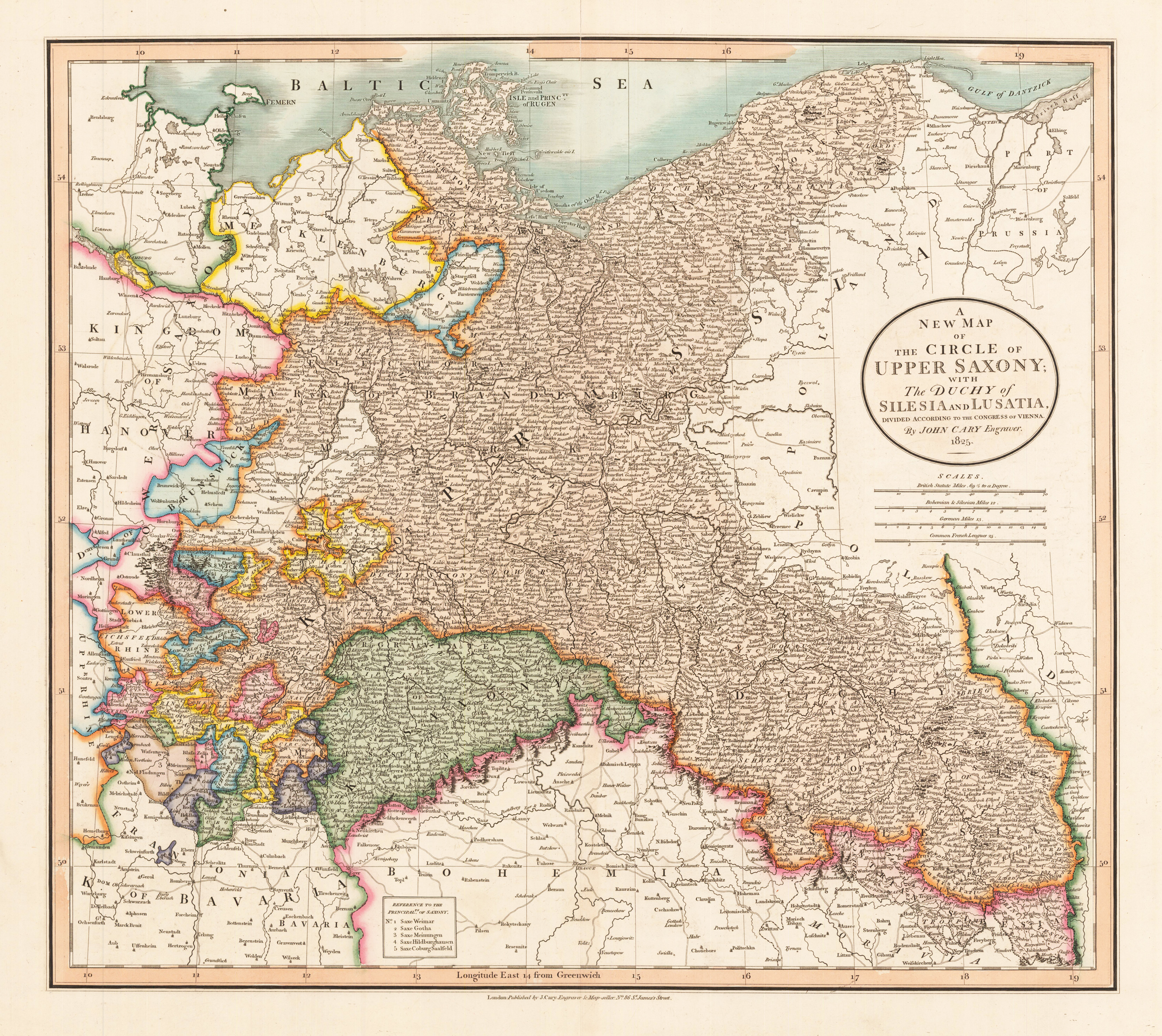
A New Map of the Circle of Upper Saxiony with the Duchy of Silesia an Lusatia, divided according to the Congress of Vienna. By John Cary Engraver. 1825.
Product information: A New Map of the Circle of Upper Saxiony with the Duchy of Silesia an Lusatia, divided according to the Congress of Vienna. By John Cary Engraver. 1825.
Original antique copper engraving, hand colored in wash and outline when published. Decorative and detailed map of Prussia in the middle, Saxonia, Mecklenburg, parts of Germany,Bohamia, Moravia, Poland, by the famous nineteenth century English cartographer John Cary. With many place names, rivers, streets and mountains. In the upper right corner a ornated title cartouche. A decorative nice map for the beginning collector.
Properties
| Category: | Spain & Portugal |
|---|---|
| Issue date: | 1825 |
| Published place: | London |
| Publisher: | John Cary |
| Technique: | Copper engraving / Original color |
| Type: | Antique Map |