
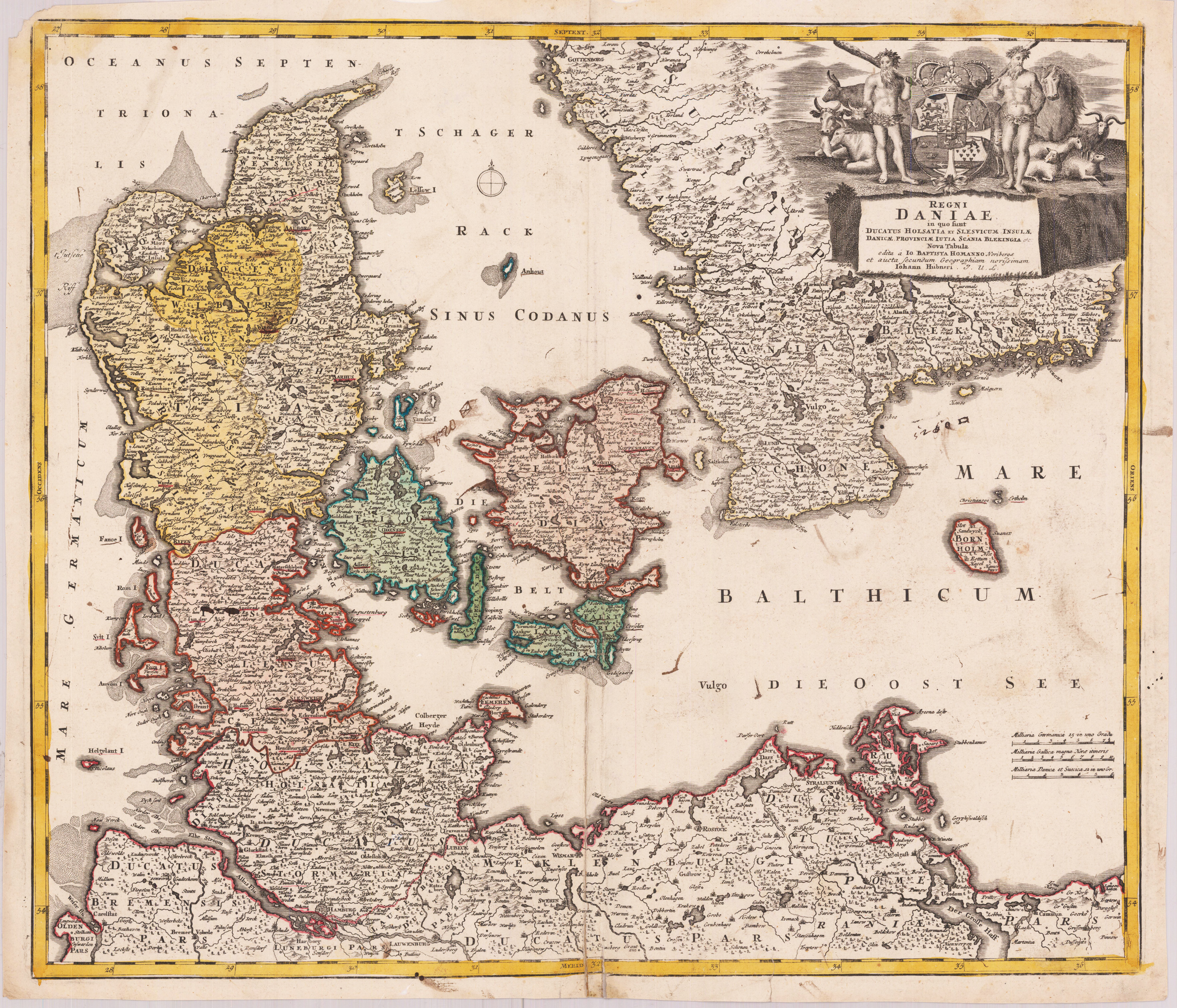
REGNI DANIAE - in quo funt DUCATUS HOLSATIA ET SLESVICUM INSULAE DANICAE, PROINCIAE IUTIA SCANIA BLEKINGIA. Nova Tabula edita IO. BAPTISTA HOMANNO Noriberge.
Product information: REGNI DANIAE - in quo funt DUCATUS HOLSATIA ET SLESVICUM INSULAE DANICAE, PROINCIAE IUTIA SCANIA BLEKINGIA. Nova Tabula edita IO. BAPTISTA HOMANNO Noriberge.
Original antique copper engraving hand colored in outline and wash when published. A good impression of this decorative map of Denmark with its neighbouring countries, as well it shows the Baltic Sea, the Belt and the Schagerak. The map is based on the cartographic sources by Ioh. Hübner. In the upper right corner the map is ornated with a decorative allegoric title-cartouche, showing the Danish crown and the royal coat of arms.
Properties
| Category: | Denmark |
|---|---|
| Issue date: | 1720-40 |
| Published place: | Nürnberg |
| Publisher: | Homann |
| Technique: | Copper engraving / Original color. |
| Type: | map |