
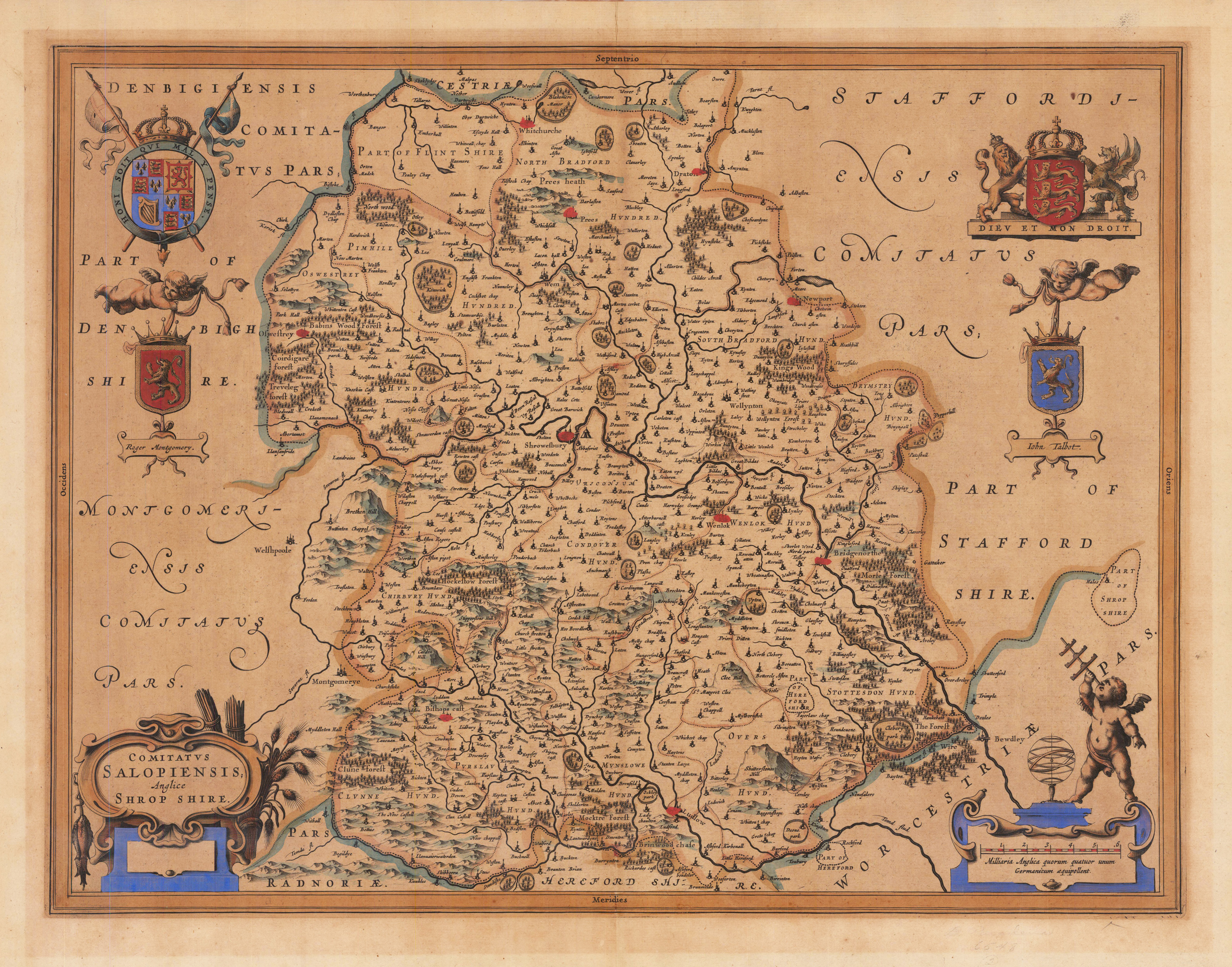
Comitatus Salopiensis Anglice Shrop Shire.
Product information: Comitatus Salopiensis Anglice Shrop Shire.
Original hand colored map of Shropshire from Volume IV, containing the English county maps, of Blaeu's landmark atlas of the world "Atlas Novus", first published in 1645. The map contains the usual Blaeu decorations; including the royal coat of arms together with those of the noble families of the county and scenes of local life.
Properties
| Category: | Shropshire |
|---|---|
| Issue date: | 1640 |
| Published place: | Amsterdam |
| Publisher: | Johannes Blaeu |
| Technique: | Copper engraving / hand colored. |
| Type: | map |