
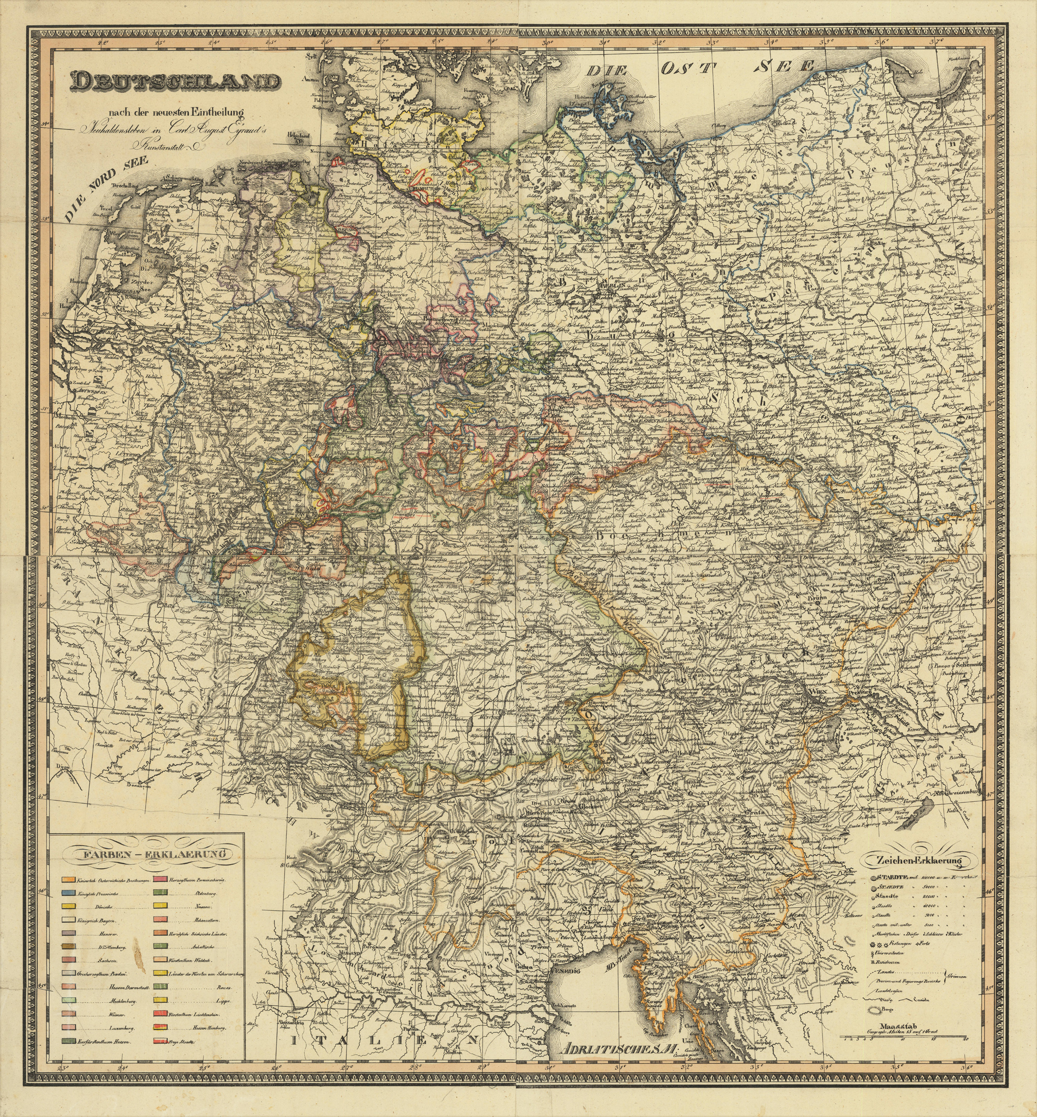
Deutschland nach der neuesten Eintheilung Neuhaldensleben Carl August Eyraud's Kunstanstalt.
Product information: Deutschland nach der neuesten Eintheilung Neuhaldensleben Carl August Eyraud's Kunstanstalt.
Original lithograph, hand colored in outline when published. A fine large and detailed engraved map of Germany published in Carl August Eyraud's printing house in Neuhaldensleben in Saxonia. An unusual and rare 19th century lithograph map, printed from four plates, depicting Germany with its newest political divisions. The map was published in the small printing house by Carl August Eyraud in Neuhaldensleben near Magdeburg in Saxonia. The publication date is probably between 1816-37 (the map depicts Rhein Bayern, which was founded 1816 and existed only until 1837). The scale of the map highly detailed and shows cities, towns, small place names, rivers, lakes, mountains political borders as well roads between the various places. In the lower left corner a large table of explanations in various colors to explain the political posessions of the various kingdoms, duchies and free cities.
Properties
| Category: | Germany |
|---|---|
| Issue date: | 1816-37 |
| Published place: | Neuhaldensleben |
| Publisher: | Eyraud, Carl August |
| Technique: | Lithograph / Original color |
| Type: | map |