
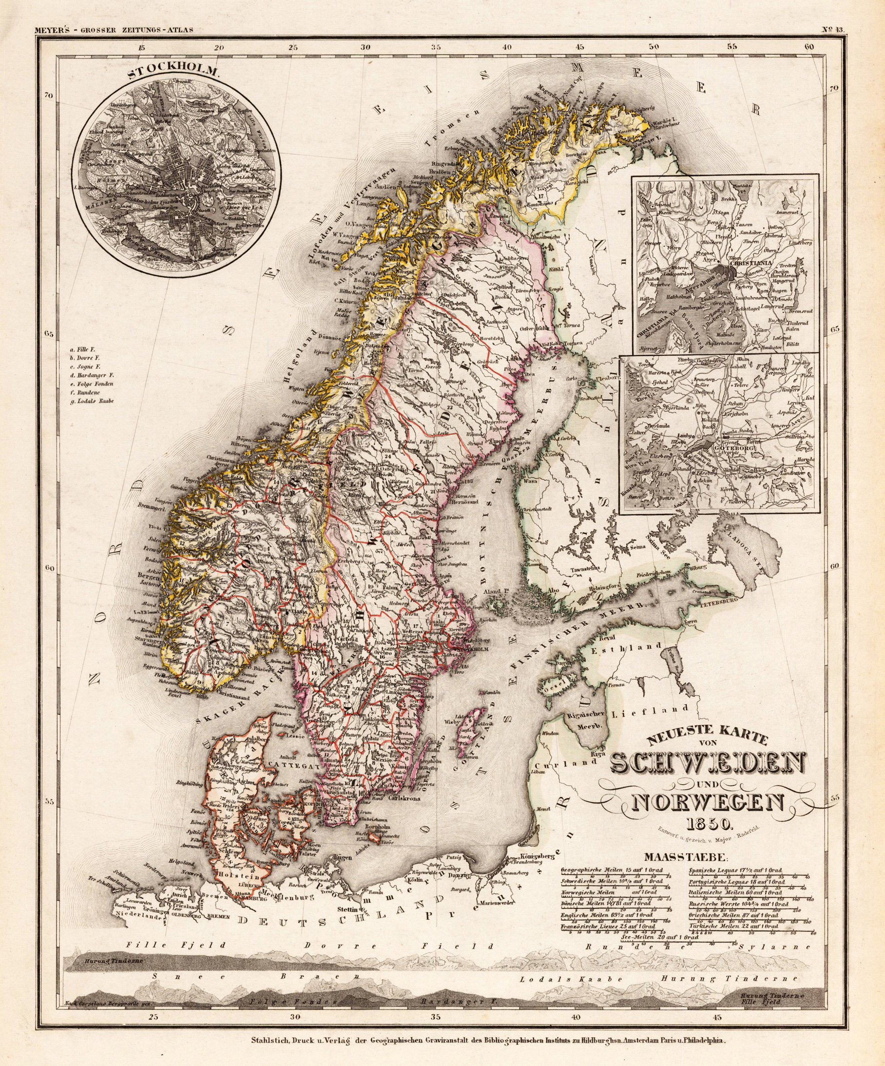
Neueste Karte von Schweden und Norwegen 1850. Entworf. u. gezeichn. v. Major Radefeld.
Product information: Neueste Karte von Schweden und Norwegen 1850. Entworf. u. gezeichn. v. Major Radefeld.
Original steel engraving engraved and drawn by Capt. Radefeld, published in Meyer's 'Handatlas', hand colored in outline when published. This antique map shows Norway, Denmark and Sweden. The map has three inset maps. One shows the Stockholm, the other the region about Christiania and Göteborg. Inside the map are many place names, rivers, mountains, etc.
Properties
| Category: | Sweden and Norway |
|---|---|
| Issue date: | 1850 |
| Published place: | Hildburghausen |
| Publisher: | Bibliograph. Institut |
| Technique: | Steel engraving, original color |
| Type: | Antique Map, map |