
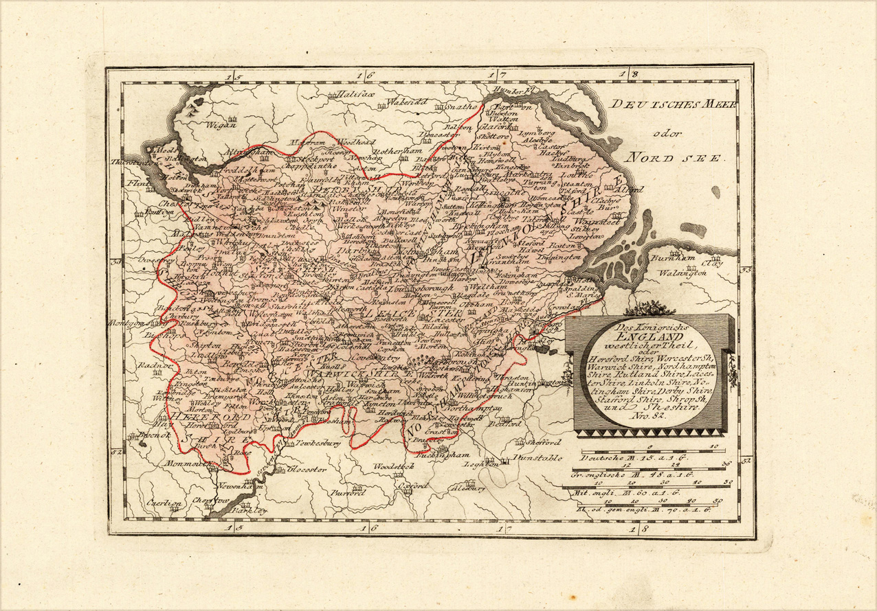
Des Königreichs England westlicher Theil, oder Hereford Shire, Eorcester Sh, Warwick Shire, Nordhampton Shire, Rutland Shire, Leicester Shire, Linkoln Shire, Notingham Shire, Derby Shire, Stafford Shire, Shrop Sh, und Sheshire. Nro. 82.
Product information: Des Königreichs England westlicher Theil, oder Hereford Shire, Eorcester Sh, Warwick Shire, Nordhampton Shire, Rutland Shire, Leicester Shire, Linkoln Shire, Notingham Shire, Derby Shire, Stafford Shire, Shrop Sh, und Sheshire. Nro. 82.
Original copper engraving, hand colored in wash and outline, when published. The Austrian cartographer Franz Joh. Josef von Reilly published around 1789 in Vienna a large amount of very detailed district maps of Central Europe. These maps are famous for their large scales and the many details they provide. Even tiny place names can be found on those maps, rivers, mountains, streets, monasteries are as well engraved. The maps, which Franz J. Reilly engraved, were especially designed for the Austrian Royal house and show countries, provinces and districts belonging to the 'Austrian-Hungarian Empire'.
Properties
| Category: | Herford Shire, Warwick Shire, Rutland Shire, ... |
|---|---|
| Issue date: | 1791 |
| Published place: | Vienna |
| Publisher: | Reilly |
| Technique: | Copper engraving / Original color. |
| Type: | Antique Map, map |