
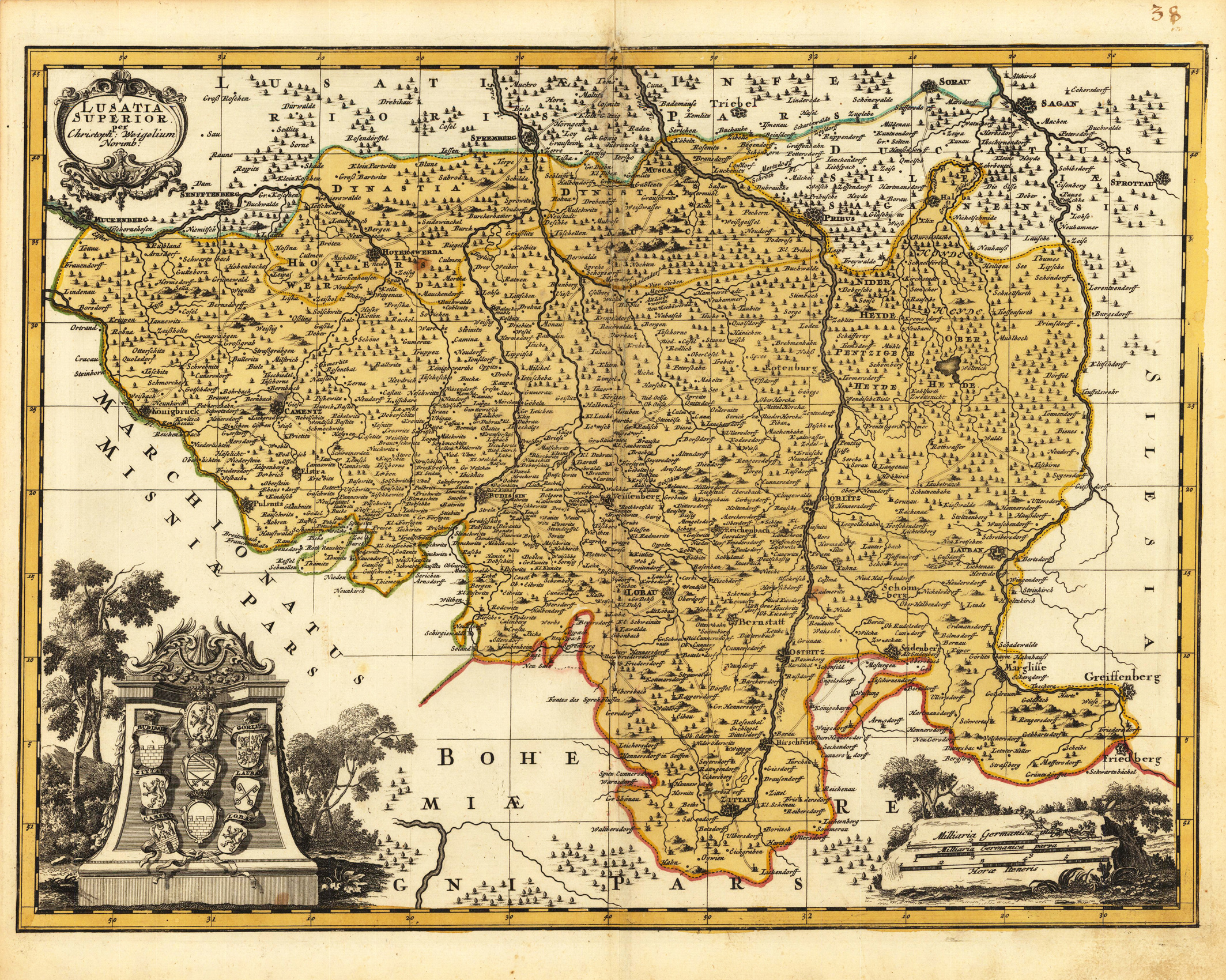
Lusatia Superior per Christoph: Weigelium Norimb.
Product information: Lusatia Superior per Christoph: Weigelium Norimb.
Original antique copper engraving, hand colored in outline and wash when published. Antique map of Upper Lusatia by Christoph Weigel. Shows the east of Saxony with Hoyerswerda, Bautzen, Zittau and Görlitz. Decorated with two cartouches and a mileage scale. From a comfortable school and travel atlas also Atlas scholasticus et itinerarius by Christoph Weigel. Weigel published the famous travel atlas in collaboration with Professor Johann David Köhler. Johann Christoph Weigel, known as Christoph Weigel the Elder (9 November 1654 – 5 February 1725), was a German engraver, art dealer and publisher. He was born at Redwitz, Free imperial city of Eger in Egerland, and died in Nuremberg, aged 70. The cartographer Weigel worked around 1719 in Nürnberg and his maps are showing the typical style of this period in map making in Southern German. He worked very close as with Johann B. Homann in Nürnberg. All his maps were hand colored in outline and decorative body color immediatelly in his printing house, after they were printed.
Properties
| Category: | Lausitz |
|---|---|
| Issue date: | 1720-40 |
| Published place: | Nürnberg |
| Publisher: | Chr. Weigel. |
| Technique: | Copper engraving / Original color. |
| Type: | Antique Map, map |