
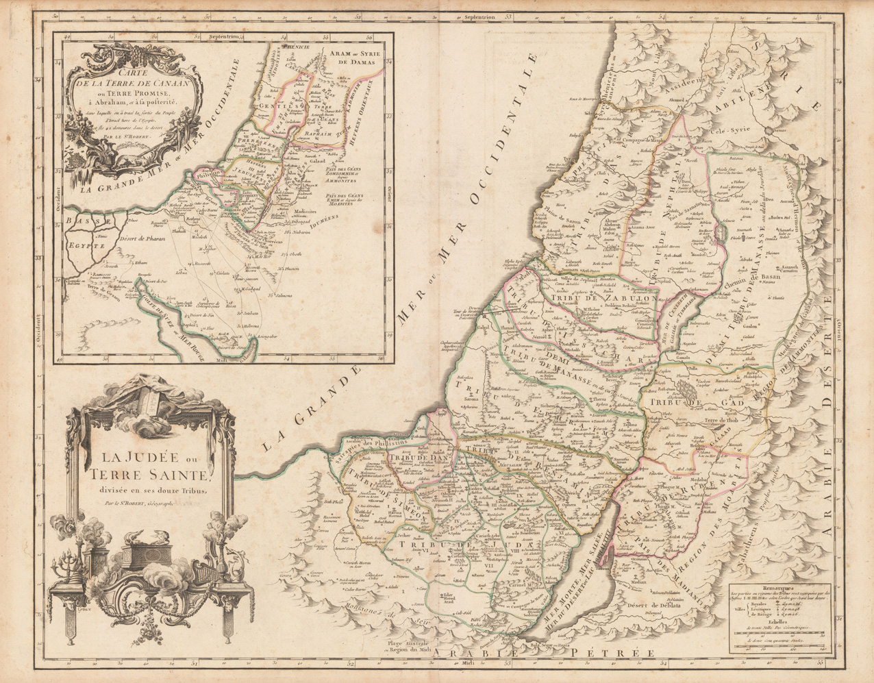
La Judée ou Terre Sainte divisée en ses douze Tribus, Par le Sr. Robert, Géographe
Product information: La Judée ou Terre Sainte divisée en ses douze Tribus, Par le Sr. Robert, Géographe
Copper engraving, hand colored in outline, when published. Detailed map by the French cartographer Sr. Robert de Vaugondy. This antique map shows detailed the Holy Land. The map pretty much up to date on the newest cartographic sources for this period around 1752-55, engraved after the cartographic sources by Nicolaus Sanson. With many engraved historical place names of cities and villages, streets and routes and mountain chains are shown as well. Ornated with a large decorative allegoric title cartouche in the lower left corner. Further on we find an interesting inset map in the upper left corner.
Properties
| Category: | Holy Land |
|---|---|
| Issue date: | 1752/55 |
| Published place: | Paris |
| Publisher: | Sr. Robert |
| Technique: | Copper engraving / Original color. |
| Type: | Antique Map, map |