
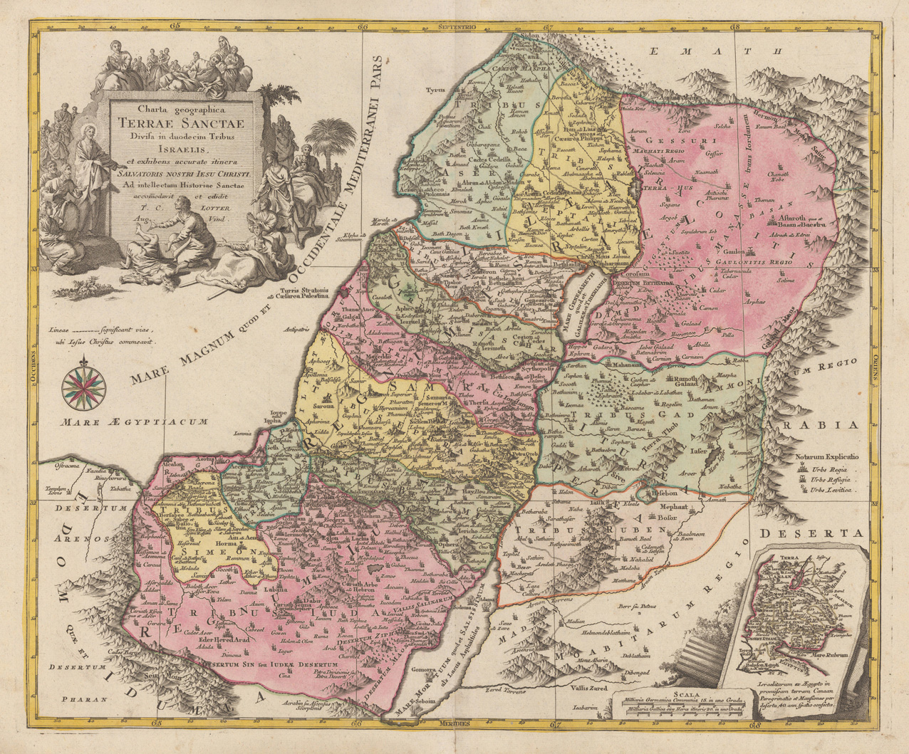
Charta geographica Terrae Santae Divisa in duodecim Tribus Israelis, et exihibens accurate itinera Salvatoris Nostri Iesu Christi. Ad intellectum Historiae Santae accomodavit et edidit T.C. Lotter Aug. Vind
Product information: Charta geographica Terrae Santae Divisa in duodecim Tribus Israelis, et exihibens accurate itinera Salvatoris Nostri Iesu Christi. Ad intellectum Historiae Santae accomodavit et edidit T.C. Lotter Aug. Vind
Copper engraving handcolored in wash and outline, when published. Engraved ca. 1762 by Georg Friedrich Lotter in Augsburg. Decorative map of the Holy Land divided up in its twelve tribes. This detailled map of the Holy Land is ornated in the lower right corner with a small inset map, a well in the upper right corner with a large allegoric decorative title cartouche.
Properties
| Category: | Holy Land |
|---|---|
| Issue date: | 1762 |
| Published place: | Augsburg |
| Publisher: | Lotter |
| Technique: | Copper engraving / Original color. |
| Type: | Antique Map, map |