
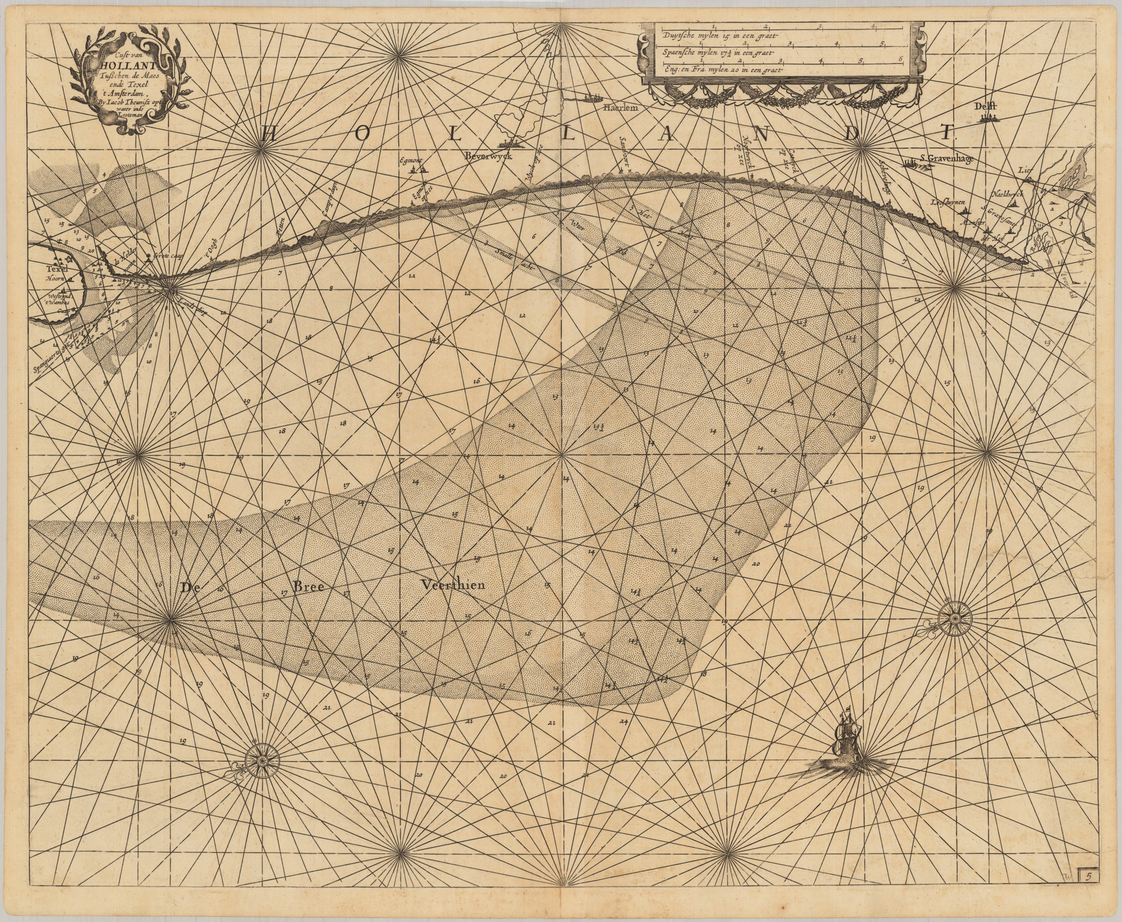
Cust van Hollant Tusschen de Maes ende Texel 't Amsterdam, By Iacob Theunisz opt water inde Lootsman
Product information: Cust van Hollant Tusschen de Maes ende Texel 't Amsterdam, By Iacob Theunisz opt water inde Lootsman
Detailled sea chart is showing the North Sea with with its coast from Texel towards Delft and S. Gravenhage. The map is ornated in the upper left corner with a small title cartouche, two compass roses and a small ship. Near the upper right corner we find a mileage scale to convert Dutch, Spanish, English & French leagues to degrees.
Properties
| Category: | Dutch coast from Texel to Delft, Scan |
|---|---|
| Issue date: | 1662 |
| Published place: | Amsterdam |
| Publisher: | Jacques & Gasper Anthoine |
| Technique: | Copper engraving / Uncolored |
| Type: | Antique Map, map |