
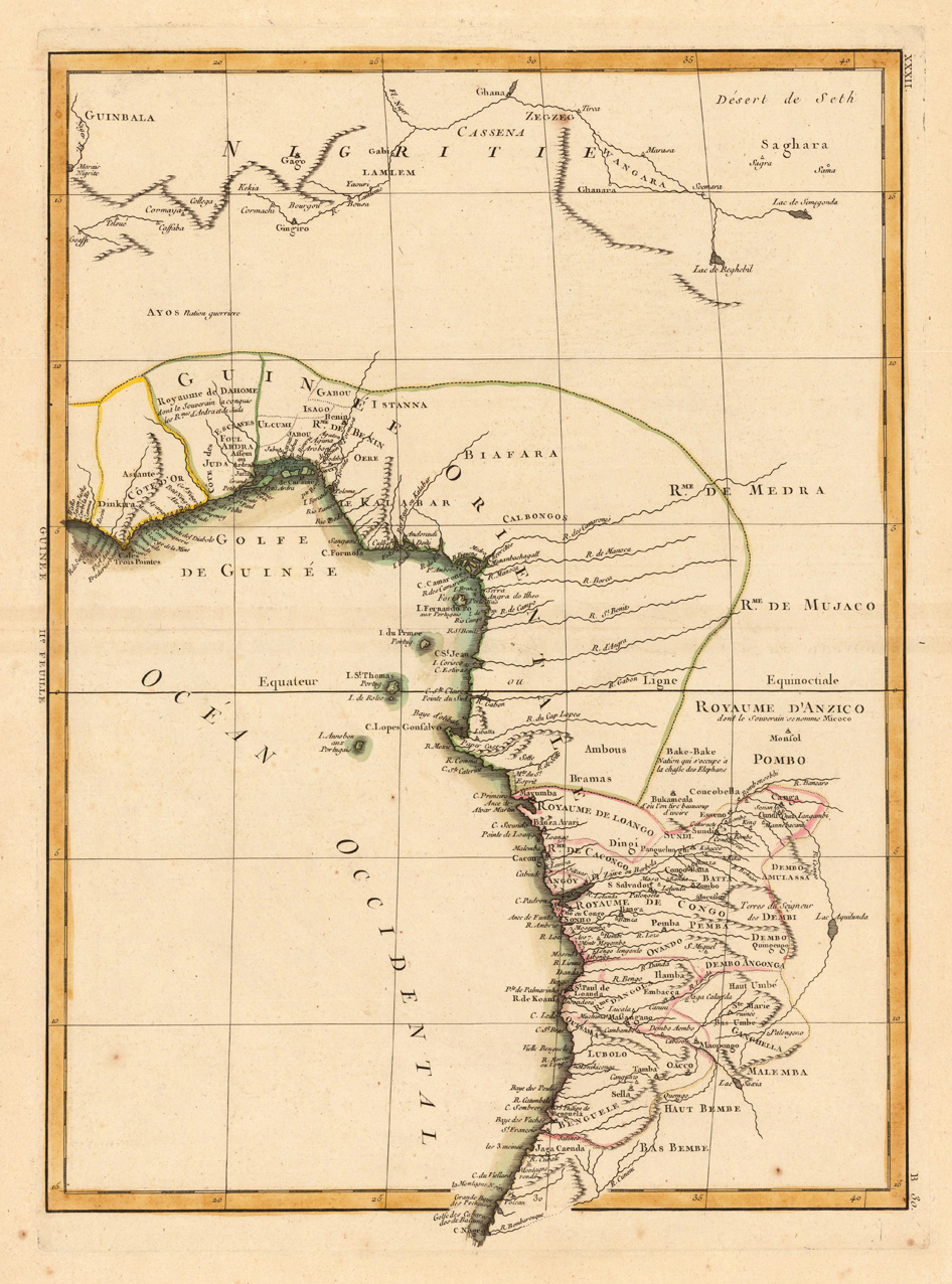
(Coast of West Africa)
Product information: (Coast of West Africa)
Copper engraving, hand colored in outline when published. This decorative map shows the central Westcoast of Africa with Guinea and the Kongo. The map is equipped with many many place names, names of rivers, mountains, etc. Rigobert Bonne (1727-1794) was a French cartographer of the late 18th century. He studied in Paris and practiced cartography. He became a skilled cartographer and hydrographer and became a royal hydrographer at the ,Depot de la Marine' in 1773. In 1780 he engraved and published the maps for Abbe Raynal's work ,Atlas de Toutes Les Parties Connues du Globe Terrestre'. He also published many charts for the ,Depot de la Marine', further he engraved the maps for the ,Atlas Encyclopedique' in 1788 together with Nicholas Desmarest.
Properties
| Category: | Guinea & Kongo |
|---|---|
| Issue date: | 1771 |
| Published place: | Paris |
| Publisher: | M. Bonne |
| Technique: | Copper engraving / Original color. |
| Type: | Antique Map, map |