
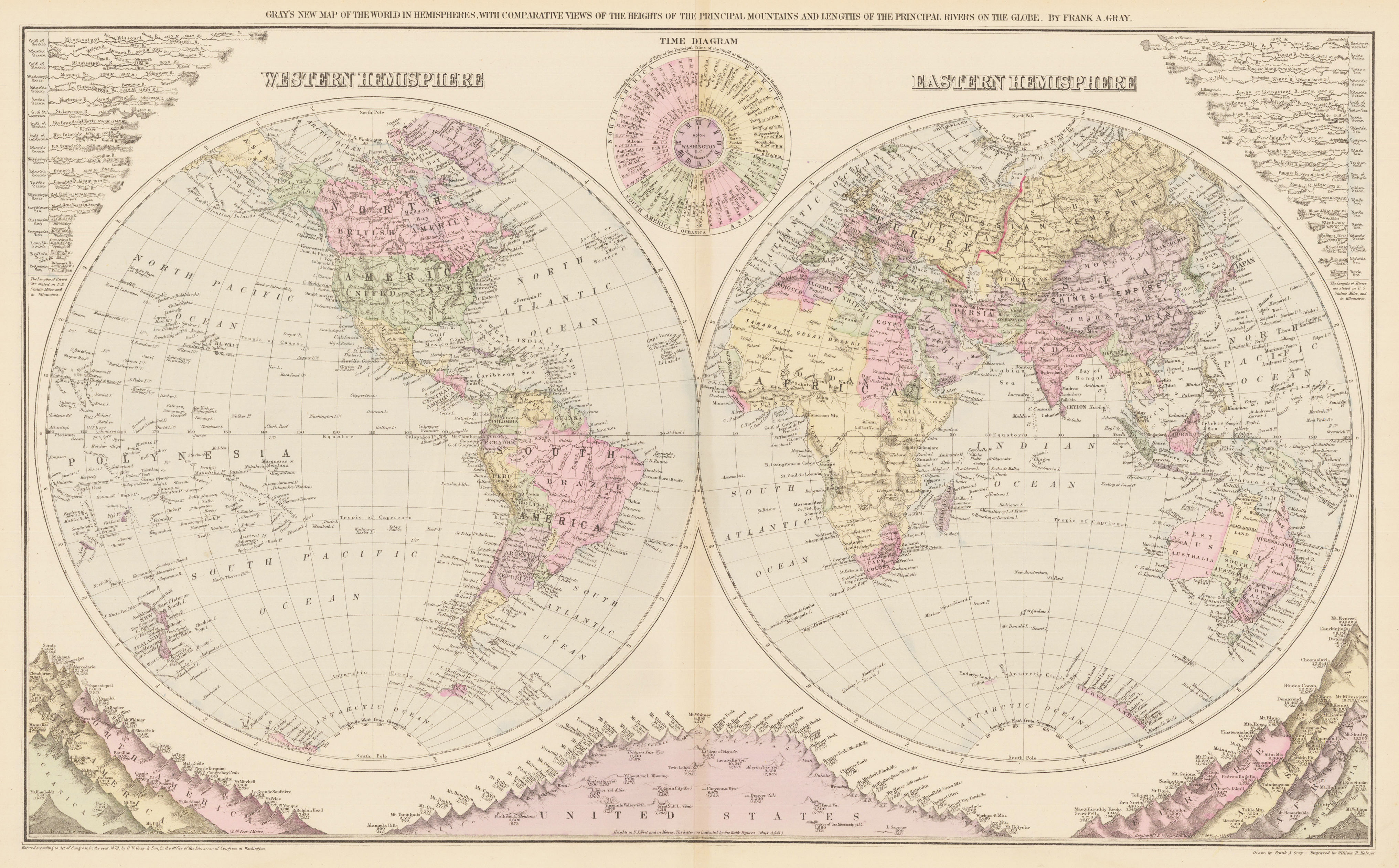
Gray´s New Map of the World in Hemispheres. With comparative viewsof the heights of the principal mountains and lengths of the principal rivers on the globe. By Frank A. Gray.
Product information: Gray´s New Map of the World in Hemispheres. With comparative viewsof the heights of the principal mountains and lengths of the principal rivers on the globe. By Frank A. Gray.
Antique lithograph, original color in outline and wash. This very interesting antique map shows the eastern and the western Hemisphere, in the middle is an time diagram, indicating the local time in the fifty principal cities of the world, while noon in Washington. In both upper corners the rivers of the world are marked with their lengths. Under the two Hemispheres are the mountains with the heights from North and South America, Oceanica, the United States, Europe, Asia, Africa and Australia. This map was drawn by Frank A. Gray and engraved by William H. Holmes. Dated, copyrighted, and entered according to Act of Congress, in the year 1879, by O. W. Gray & Sons, in the office of the Librarian of Congress at Washington.
Properties
| Issue date: | 1879 |
|---|---|
| Published place: | Philadelphia |
| Publisher: | O.W. Gray & Son |
| Technique: | Lithograph / Original color. |
| Type: | Antique Map |