
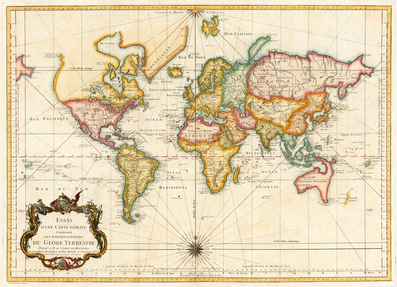
Essay D'une Carte Reduite Contenant les Parties Connuees du Globe Terrestre dedie am le Comte de Maurepas Commandeur des Ordres du Roy Ministre, et Secretaire d' Etat. Par N. Bellin Ingenieur ordinre de la Marine 1748.
Product information: Essay D'une Carte Reduite Contenant les Parties Connuees du Globe Terrestre dedie am le Comte de Maurepas Commandeur des Ordres du Roy Ministre, et Secretaire d' Etat. Par N. Bellin Ingenieur ordinre de la Marine 1748.
Copper engraving, hand colored in outline and wash. A fine detailled and interesting map engraved by Bellin after earlier voyages. The map was designed by Bourgoin le Jeune. Published in a Bellin atlas edition in Paris, which contained solely maps of Bellin originally published in the travel books by Antoine Francois Prevost D'Exiles. The atlas was dated c. 1756-60, Paris however it should be dated probably c. 1784, because this world map was published in volume XX of Prevost D'Exiles voyages and also the National Library of Australia catalogue refers to that error in their bibliographic information on that map. „Probably removed from an edition of: Prévost's Histoire générale des voyages, for which Bellin did the maps--Cf. BN; BM. "The date 1748 on the imprint is an engraver's error, transposing the '8' and '4': the map shows the complete coastline of New Zealand, as mapped by Captain Cook in the early 1770s, but not Hawaii, the Bering Straits and the other discoveries of Cook's Third Voyage."--Vendors notes, provided with National Library of Australia's copy. In French."
Properties
| Category: | World Map |
|---|---|
| Issue date: | 1748, 1756-60 |
| Published place: | Paris |
| Publisher: | N. Bellin |
| Technique: | Copperengraving/handcolored. |
| Type: | Antique Map, map |