
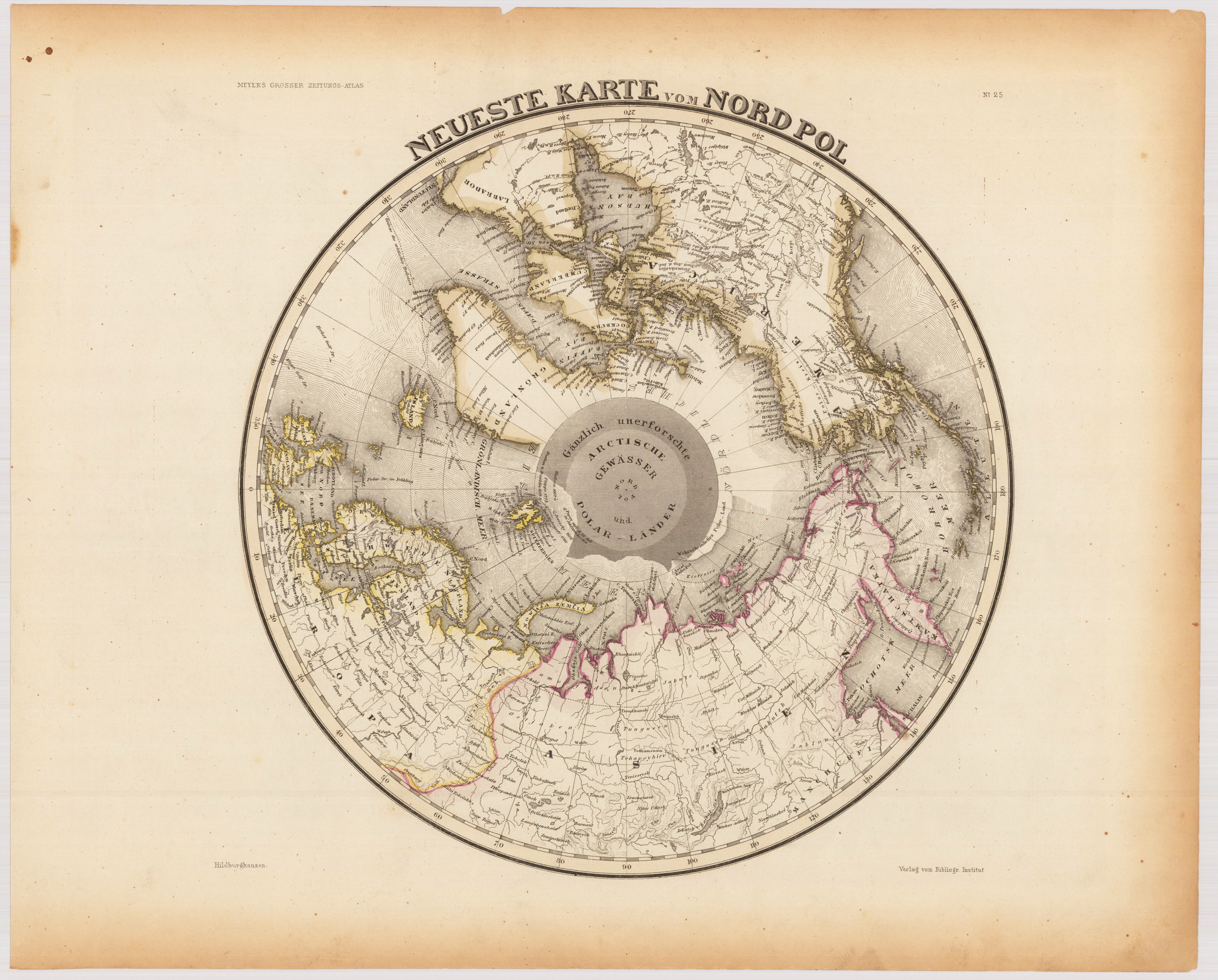
Neueste Karte vom Nordpol
Product information: Neueste Karte vom Nordpol
Steel engraving hand colored in outline when published. Interesting map showing the North Pole with parts of Canada, North America, Europe and Asia. The map shows engraved place names, rivers as well engraved border lines of the 'Frozen Sea' and the 'Floating Ice' are engraved. The map was published circa 1845-50 in Hildburghausen in Joseph Meyers großen Zeitungsatlas.
Properties
| Category: | North Pole |
|---|---|
| Issue date: | 1845-50 |
| Published place: | Hildburghausen |
| Publisher: | Bibliograph. Institut |
| Technique: | Steel engraving, original color |
| Type: | map |