
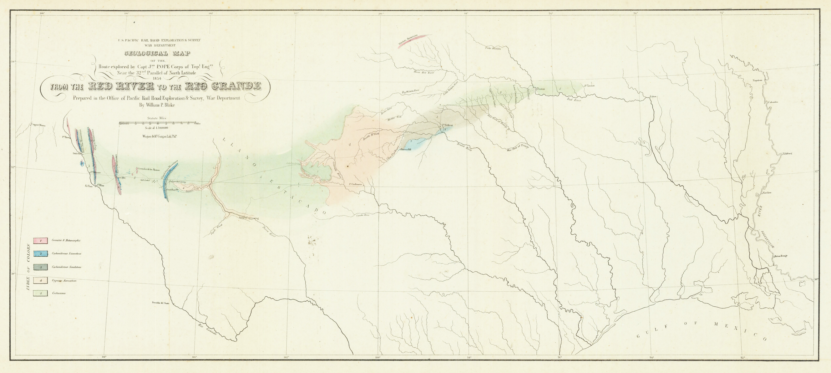
Geological map of the Red River and the Rio Grande
Product information: Geological map of the Red River and the Rio Grande
Original lithograph, hand colored in wash when published. This early geological map depitcs the Witchita Mountains in the north, El Paso in the west to the Missisippi River in the east and the Gulf of Mexico in the south. At the left side with find a color explanation key for the various geological formations. On the upper left side is the cartouche with the mileage scale. This geological map was prepared to accompany Blake's report of the transcontinental railroad.
Properties
| Category: | Geological map |
|---|---|
| Issue date: | 1853 |
| Published place: | New York |
| Publisher: | Sarony, Major & Knapp |
| Technique: | Lithograph / hand colored. |
| Type: | map |