
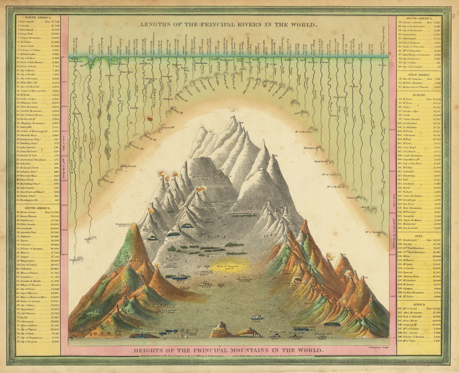
Heights of the principal mountains in the world & lengths of the principal rivers in the world
Product information: Heights of the principal mountains in the world & lengths of the principal rivers in the world
Engraved map, hand colored in outline and wash when published. A highly interesting antique map showing the principal mountains and rivers of the world. Left and right side with given elevations of cities, mountains, rivers, volcanoes, mines, etc. Very colorful hand colored and rich in fine engraved details. This map was published 1846 in Philadelphia by Samuel Augustus Mitchell in his atlas ,A New Universal Atlas containing maps of the various Empires, Kingdoms, States and Republics of the World'. Samuel Augustus Mitchell was starting around 1831 his business as a publisher of atlases and folded maps. Around 1845 he was aquiring the rights from Henry S. Tanner's famous ,New Universal Atlas' from Carey & Hart, who had already the copyright from Tanner in posession. Samuel August Mitchell changed many of the maps, also the printing technique to lithography and published then his atlas in 1846. The atlas was carried on with changes in the maps in several editions until 1850. Then the rights were sold on to Thomas, Cowperthwait & Co.
Properties
| Category: | Rivers and Mountains |
|---|---|
| Issue date: | 1846 |
| Published place: | Philadelphia |
| Publisher: | Samuel Augustus Mitchell |
| Technique: | Lithograph / Original color. |
| Type: | Antique Map |