
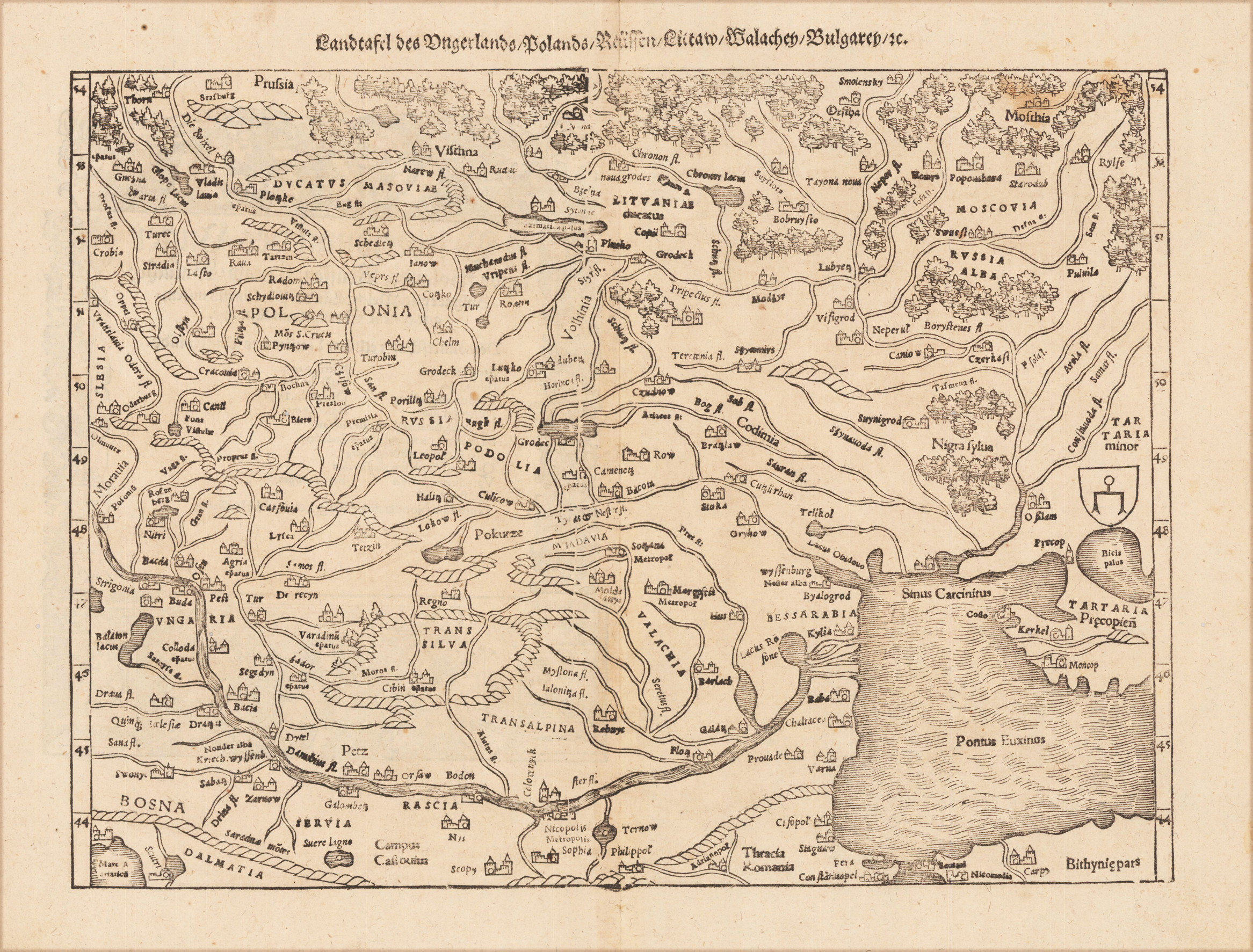
Landtafel des Ungerlands, Polands, Reussen, Litaw, Walachey, Bulgarey, zc
Product information: Landtafel des Ungerlands, Polands, Reussen, Litaw, Walachey, Bulgarey, zc
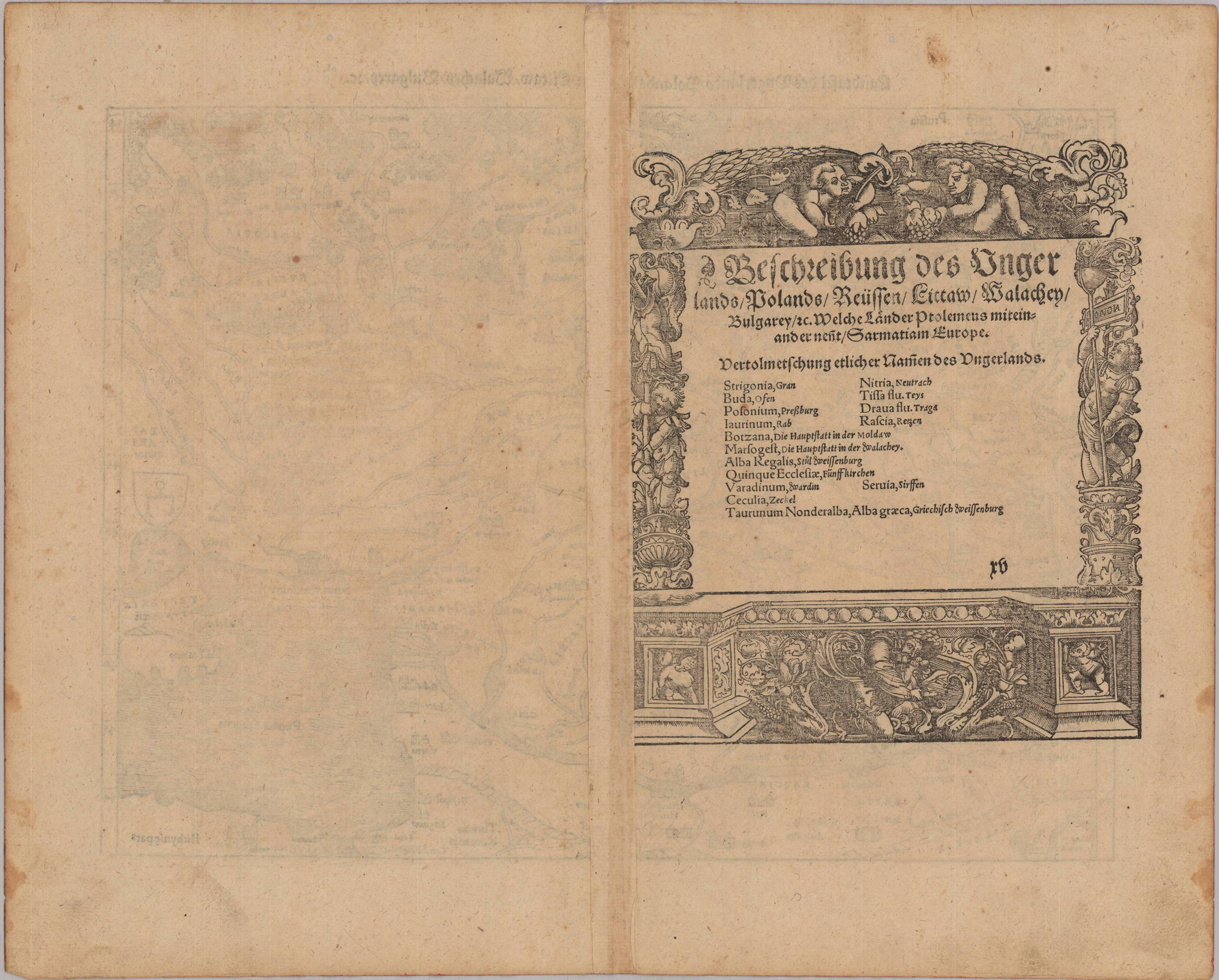
Original uncolored woodcut map published in a German text edition of Sebastian Münster's ,Cosmographia' 1578 at Heinrich Petri in Basel. This original woodcut shows parts of Hungary, Poland, Prussia, Lituania, the Wallachei, Bulgaria and Transylvania. The map extends in the northern parts towards Thorn and the duchy of Masovia and White Russia in the Northeast. In the South it includes Hungary with the river Danube and the Black Sea. Sebastian Munster's ,Cosmographia' can be regarded probably as the most richly illustrated chronicle and description of the world published in the 16th century. It was illustrated throughout with woodcut illustrations, many of them within the text and several of them as double page or maps. Among them interesting and decorative city views, maps, costums, portraits, manners, etc. S. Munster's ,Cosmographia' appeared it various editions and languages between 1544 and 1628.
Properties
| Category: | Southeast Europe, Transylvania |
|---|---|
| Issue date: | 1578 |
| Published place: | Basel |
| Publisher: | Heinrich Petri |
| Technique: | Woodcut, uncolored. |
| Type: | map |