
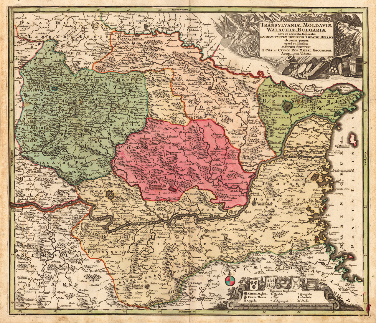
Transylvaniae, Moldaviae, Walachiae, Bulgariae, nova et accurata Delineatio, Magnam Partem Hodierni Theatri Bellici ob oculos ponens, operá et fumtibus Matthaei Seutteri, S. Caes. et Cathol. Reg. Majest. Geographi, Augu Stae Vindel.
Product information: Transylvaniae, Moldaviae, Walachiae, Bulgariae, nova et accurata Delineatio, Magnam Partem Hodierni Theatri Bellici ob oculos ponens, operá et fumtibus Matthaei Seutteri, S. Caes. et Cathol. Reg. Majest. Geographi, Augu Stae Vindel.
Copper engraving, hand colored in outline when published. This decorative old map shows Southeast Europe with Transylvania, Moldavia, Bulgaria and the Walachei. The map provides a lot of information on cities, small place names, the rivers, lakes, mountains, etc. It shows details the mouth of the river Danube into the Black Sea. In the upper right corner we look at a figurative title with allegories to the war with the Turks, in the lower right side is an allegoric cartouche with a mileage scale.
Properties
| Category: | Transylvania, Moldavia, Walachei & Bulgaria |
|---|---|
| Issue date: | 1720-30 |
| Published place: | Augsburg |
| Publisher: | M. Seutter |
| Technique: | Copper engraving / Original color. |
| Type: | Antique Map, map |