
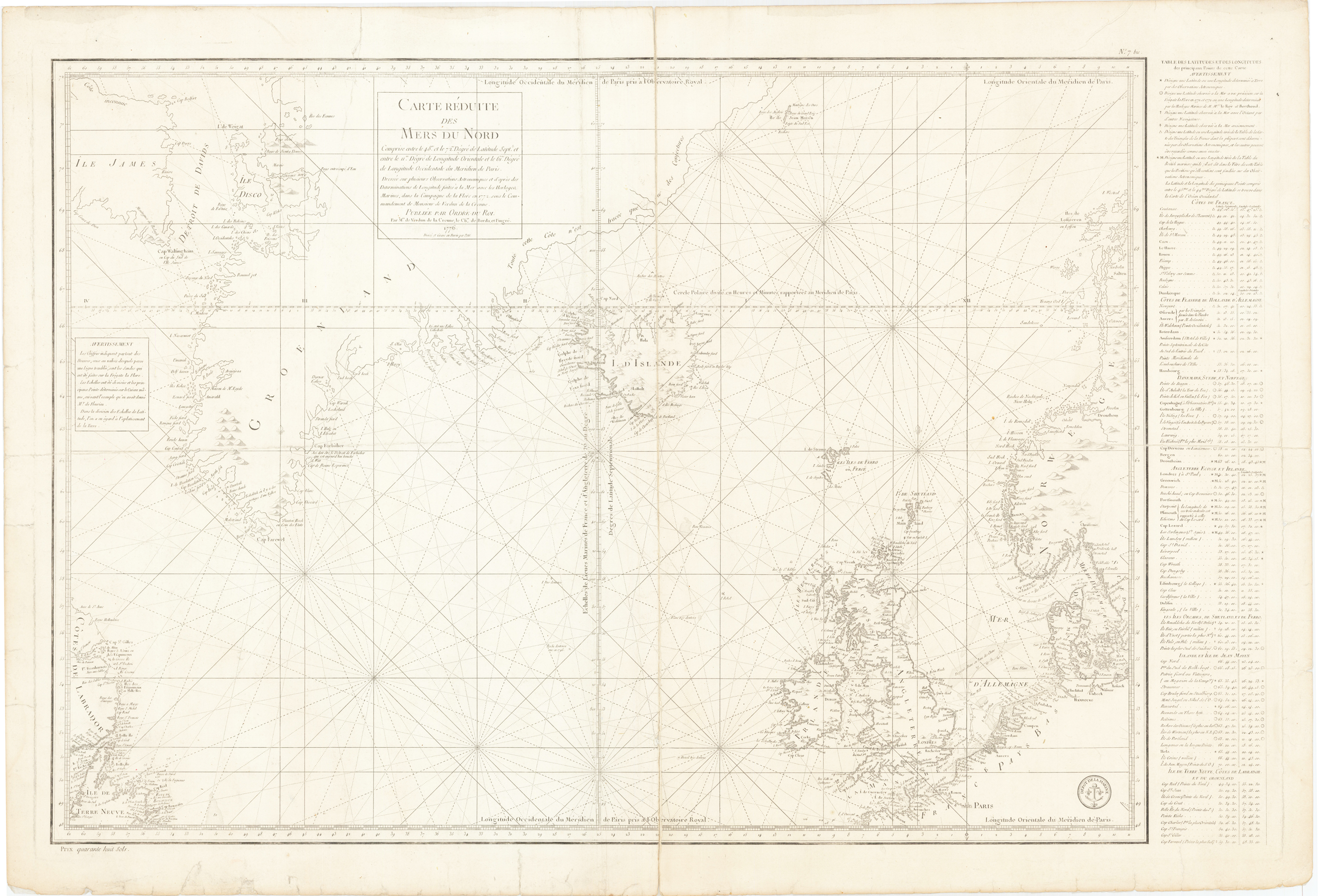
Carte Reduite des Mers Du Nord
Product information: Carte Reduite des Mers Du Nord
Original copper engraving, uncolored. A finely engraved chart extending from Newfoundland to the British Isles and Denmark and north to include Davids Straits, Greenland, Iceland and a part of Norway. Text along the right hand side lists location with their longitude and latitude and the chart uses a precise technique by which only those coastlines definitely known are fully shaded. Engraved by Petit and with the stamp of the Depot De La Marine.
Properties
| Category: | Scandinavia |
|---|---|
| Issue date: | 1776 |
| Published place: | Paris |
| Publisher: | J. N. Bellin |
| Technique: | Copper engraving |
| Type: | map |