
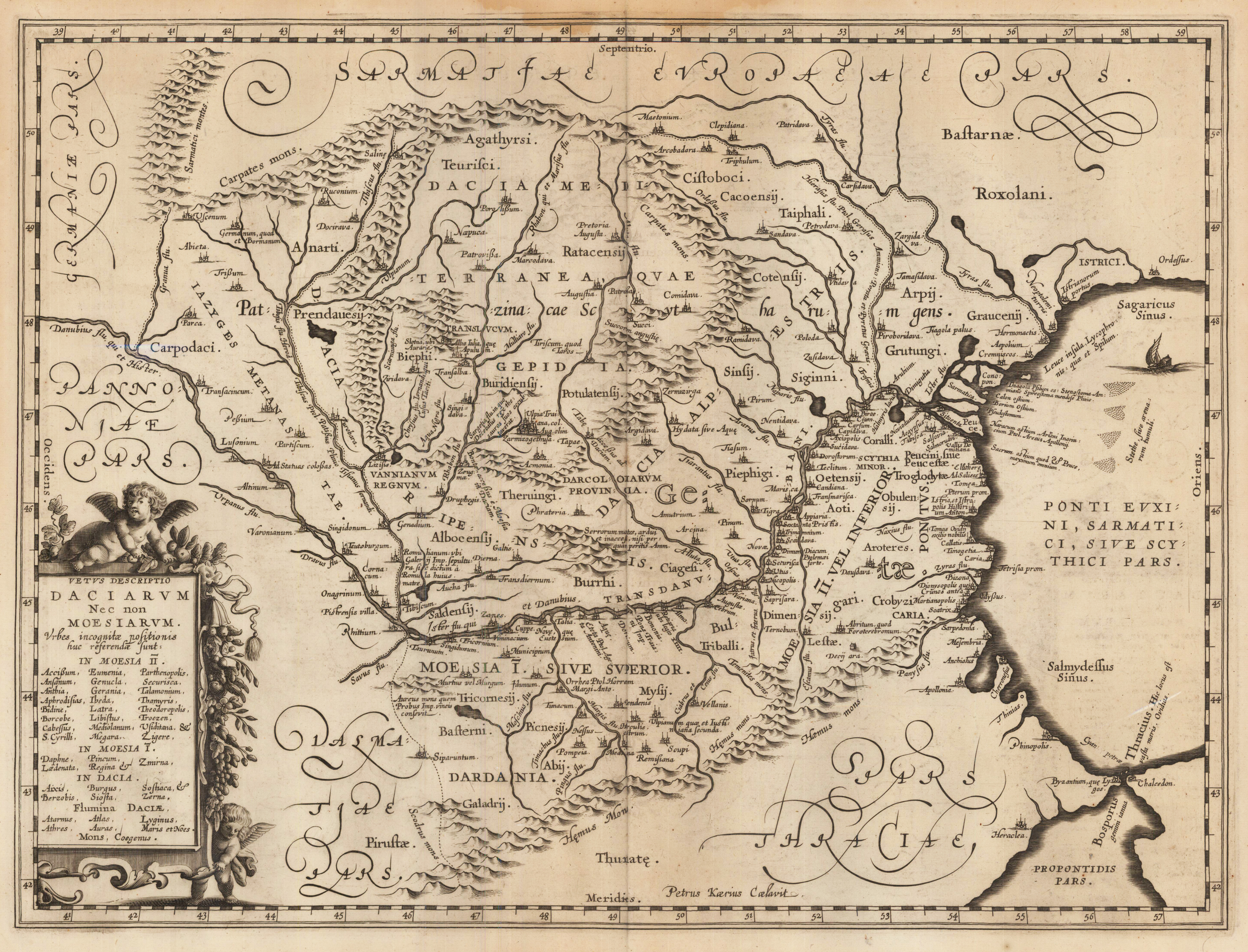
Vetus Descriptio Daciarum Nec non Moesiarum Petrus Kaerius Caelavit.
Product information: Vetus Descriptio Daciarum Nec non Moesiarum Petrus Kaerius Caelavit.
Original antique copper engraving. This interesting map shows Romania. Romania is a country at the crossroads of Central, Eastern and Southeastern Europe. It borders Bulgaria to the south, Ukraine to the north, Hungary to the west, Serbia to the southwest, and Moldova to the east, and opens onto the Black Sea. There is a predominantly temperate continental climate. With a total area of 238,397 square kilometers, Romania is the twelfth largest country in Europe and the sixth most populous member state of the European Union with around 19.3 million inhabitants (as of 2020). The capital and largest city is Bucharest. Other important urban areas are Cluj-Napoca, Timișoara, Iași, Constanța, Craiova, Brașov and Galați. The Danube, Europe's second longest river, has its source in Germany's Black Forest and flows 2,857 km in a generally south-easterly direction through ten countries before flowing into the Romanian Danube Delta. (Wikipedia) Marginal water stains in the upper part of the double page map, margins generally slightly stained.
Properties
| Category: | Dacia and Moesia |
|---|---|
| Issue date: | 1662 |
| Published place: | Amsterdam |
| Publisher: | Janssonius Joan. |
| Technique: | Copper engraving |
| Type: | map |