
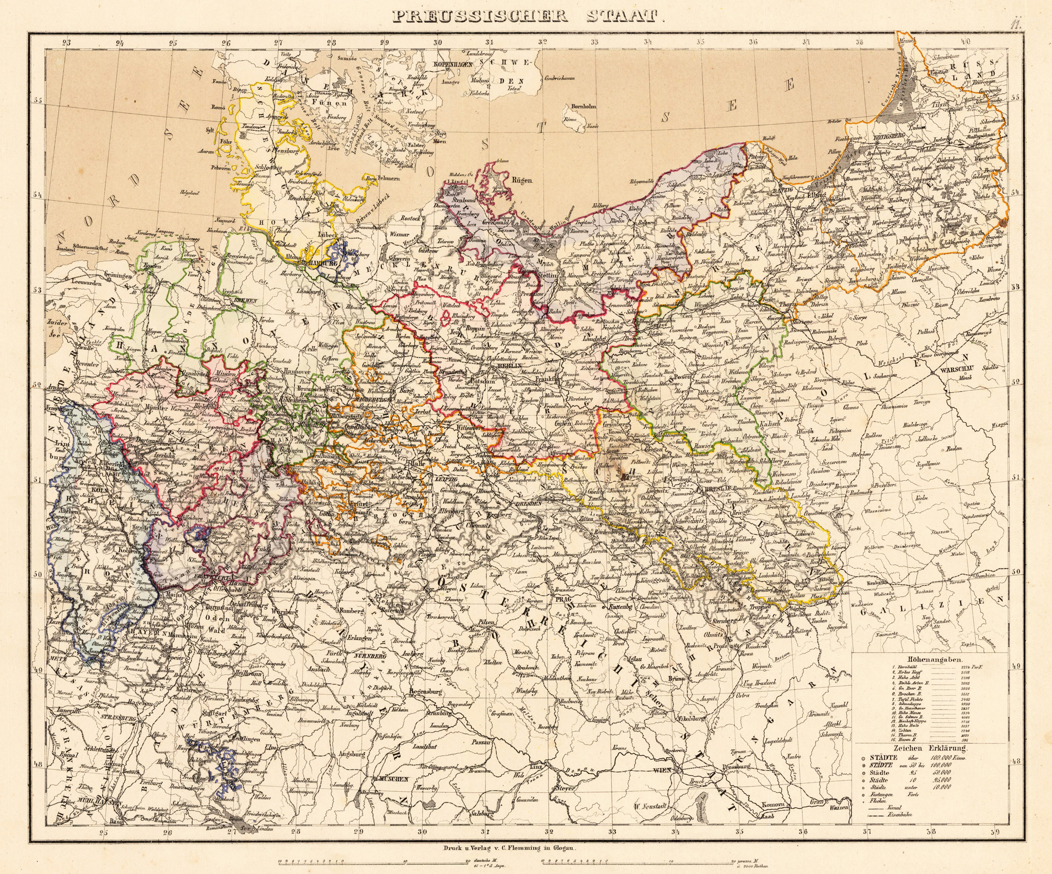
Product information: Preussischer Staat.
Lithograph, hand colored in outline when published. Detailed map of the Prussian state with its neighboring countries. With many information on place names, castles, rivers, lakes, mountains, etc. Political borders are shown in outline colors. In the lower right corner with a small table of explanations for the kingdom of Prussia, listing the various provinces either or either not belonging to Germany. As well a small listing of heights of various mountains.
Properties
| Category: | Prussia |
|---|---|
| Issue date: | 1881 |
| Published place: | Glogau |
| Publisher: | C. Flemming |
| Technique: | Lithograph / Original color. |
| Type: | Antique Map, map |