
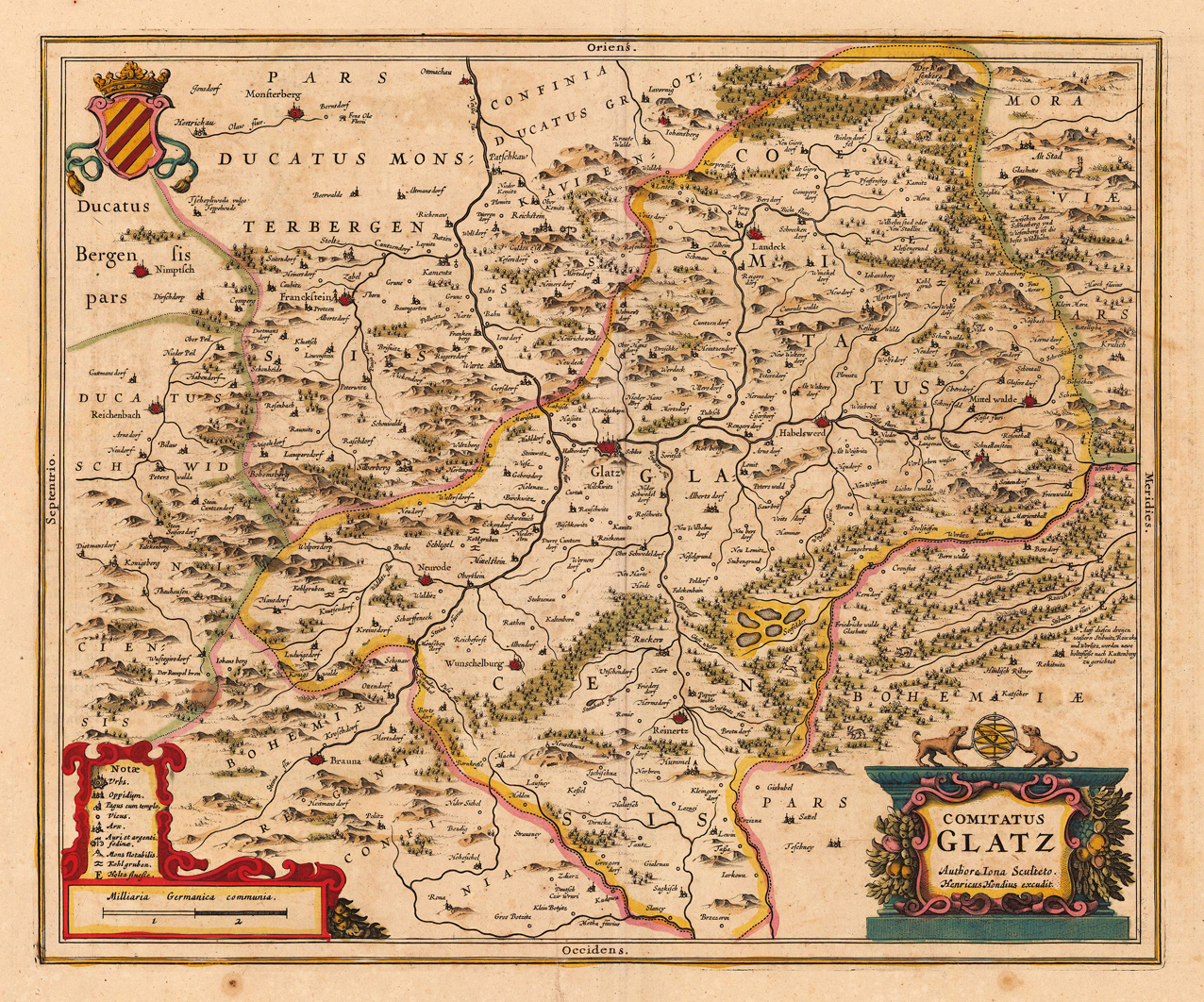
Comitatus Glatz Authore Iona Sculteto. Henricus Hondius excudit.
Copper engraving, hand colored in outline and wash when published. A detailed regional map of the principality of Glatz by Hendricus Hondius II (1597 – 16 August 1651), which was published in his atlas in Amsterdam around 1638 for the first time. The centre of the map with the city Glatz and the rivers Neisse, Steina and Biela. Further the map extends in the south from Mittenwalde to Reichenbach (duchy of Schweidnitz) in the north. With many engraved place names, villages, mountains and woods. Hendric Hondius engraved this regional map of the duchy of Glatz in Silesa after the cartographic information Joanus Scultetus, a Silesian cartographer (1603-1664). In the lower left corner with a small table of explanations, undrneath a mileage scale. At the bottom on the right side a colorful title cartouche and the coat of arms of Glatz (Klotzko) in the upper left corner.
| Category: | Glatz (Klotzko) |
|---|---|
| Issue date: | 1638 |
| Published place: | Amsterdam |
| Publisher: | Hondius Hendricus |
| Technique: | Copper engraving / Original color. |
| Type: | Antique Map |