
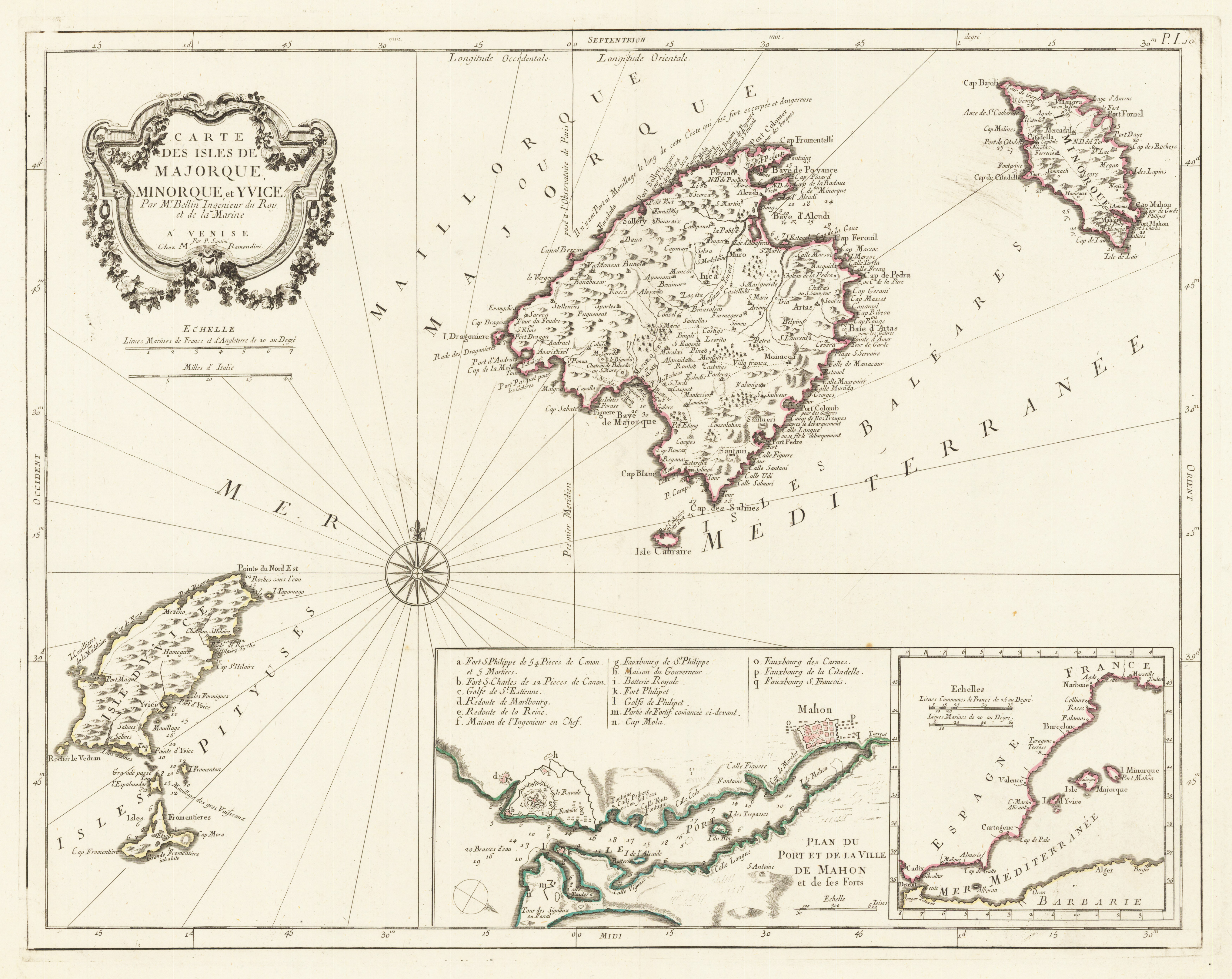
Carte des Isles de Majorque. Minorque et Yvice. Par M. Bellin Ingenieur du Roy et de la Marine. A' Venise Chez Mr. Par P. Santini Remondini.
Product information: Carte des Isles de Majorque. Minorque et Yvice. Par M. Bellin Ingenieur du Roy et de la Marine. A' Venise Chez Mr. Par P. Santini Remondini.
Copper engraving, hand colored in outline. This beautiful antique map shows the islands Mallorca, Minorca, Isles Pityses, an inset map with parts of the spanish coast and the fort Mahon. The decorative title cartouche and two mileage scales (french and italian) are in the upper left corner. A compass rose is in the middle of the left part on the map. The map first appeared in Santini's Atlas Universel in 1776-79 in Paris. In 1784 Santini sold the plates of the maps to M. Remondini, who published then these maps in Venice with his additional imprint in the title cartouches.
Properties
| Category: | Balearic Islands |
|---|---|
| Issue date: | 1776-80 |
| Published place: | Venice |
| Publisher: | M. Remondini, Santini Chez M. Remondini |
| Technique: | Copper engraving / Original color. |
| Type: | Antique Map, map |