
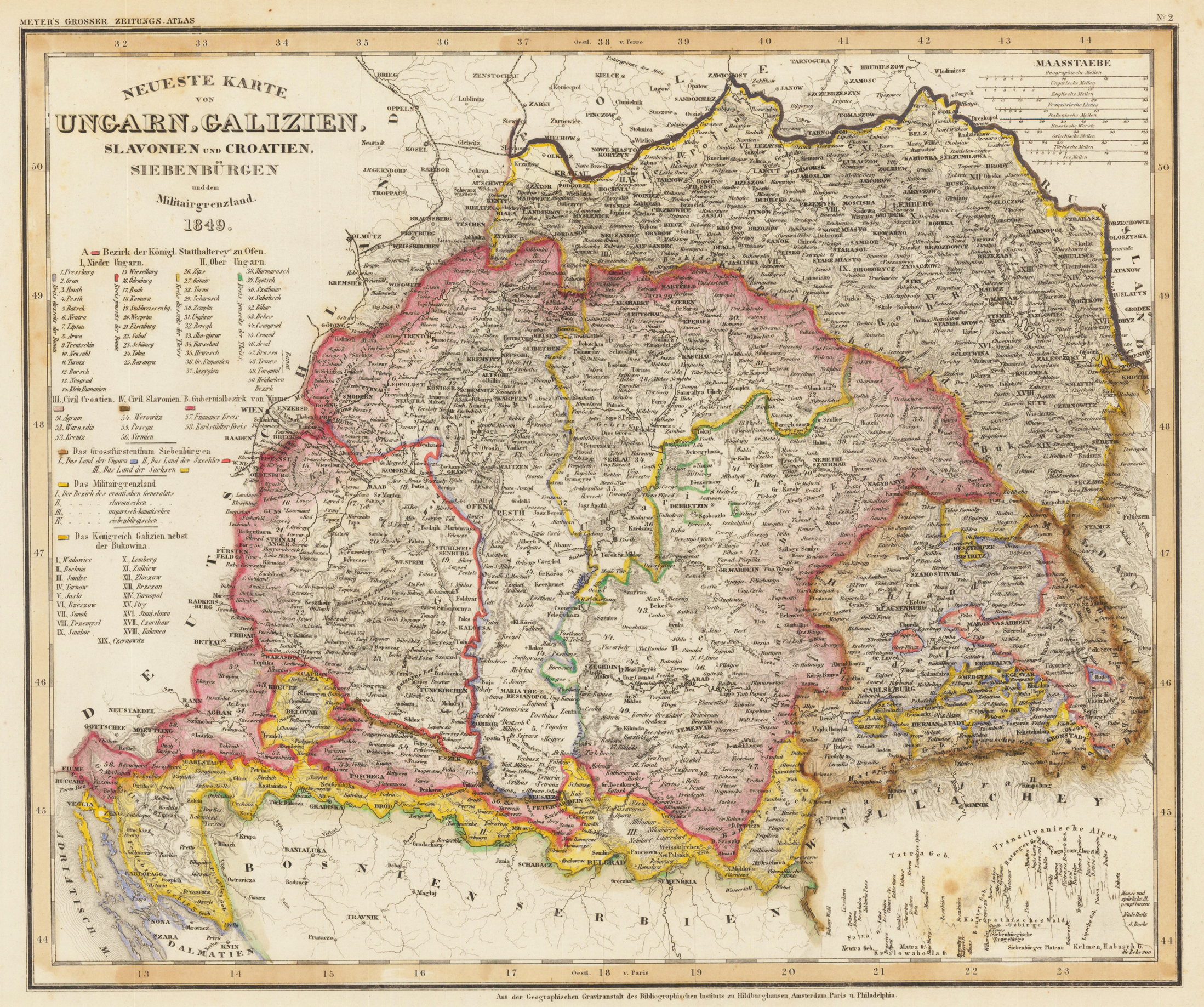
Neueste Karte von Ungarn, Galizien, Slavonien und Croatien, Siebenbürgen und dem Militärgrenzland 1849.
Product information: Neueste Karte von Ungarn, Galizien, Slavonien und Croatien, Siebenbürgen und dem Militärgrenzland 1849.
Antique steel engraving hand colored in outline, published in Meyer's Handatlas. The title is engraved in the upper left corner, among them are the detailed explanations to the population, villages, mountains, etc. In the upper right corner are nine different mileage scales.
Properties
| Category: | Hungary |
|---|---|
| Issue date: | 1849 |
| Published place: | Hildburghausen |
| Publisher: | Bibliographisches Institut |
| Technique: | Steel engraving, hand colored |
| Type: | map |