
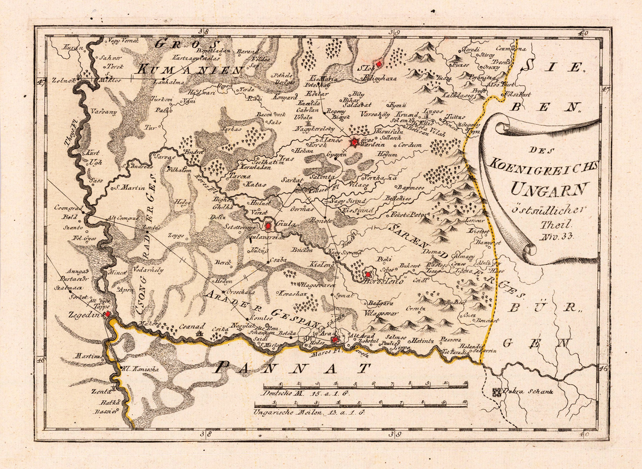
Des Koenigreichs Ungarn östsüdlicher Theil. Nro. 33.
Product information: Des Koenigreichs Ungarn östsüdlicher Theil. Nro. 33.
Original copper-engraving, hand colored in wash and outline, when published. Detailed map eastern southern part of Hungary with the neighbouring Bannat in the south and the neighbouring Siebenbürgen in the east. The map shows many place names Giula, BorosIeno, Arad, Wardein, Zegedin and others. A detailed map of this region in the Southeast of Hungary. Mountains, rivers, lakes, woods, small villages, streets, etc. are engraved.
Properties
| Category: | Hungary |
|---|---|
| Issue date: | 1789/1810 |
| Published place: | Vienna |
| Publisher: | Reilly |
| Technique: | Copper engraving / Original color. |
| Type: | Antique Map, map |