
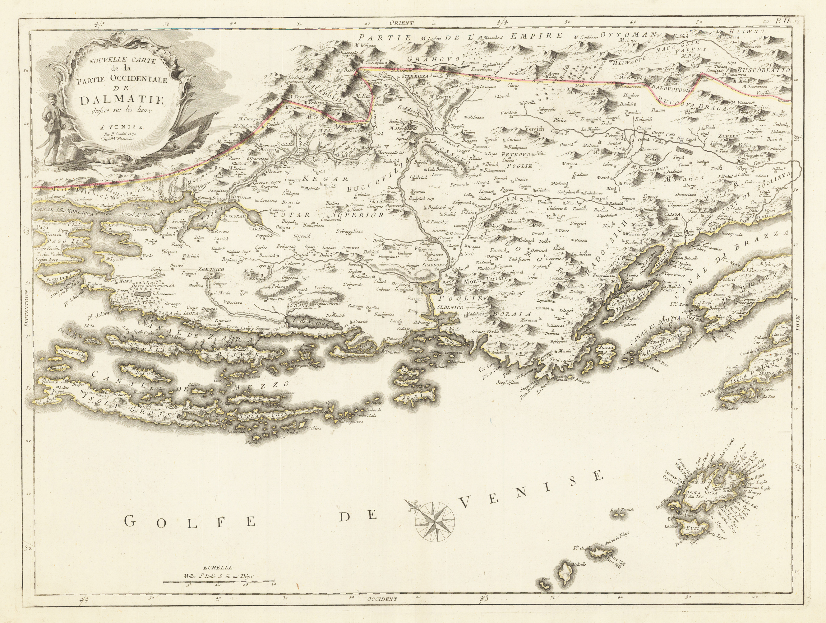
Nouvelle Carte de la Partie Occidentale de Dalmatie dresee sur les lieux. A' Venise Par P. Santini 1780. Chez Mr. Remondini.
Product information: Nouvelle Carte de la Partie Occidentale de Dalmatie dresee sur les lieux. A' Venise Par P. Santini 1780. Chez Mr. Remondini.
Copper engraving, hand colored in outline. Decorative map of the western part of the Dalmatian coast, from the eastern end of what are today the Croatian islands of Pag and Dugi Otok, east to Hvar and Brac. The island of Lissa is prominently marked in the lower right hand corner of the map, which is orientated towards the north east.
Properties
| Category: | Dalmatia |
|---|---|
| Issue date: | 1776-80 |
| Published place: | Venice |
| Publisher: | M. Remondini |
| Technique: | Copper engraving / Original color. |
| Type: | map |