
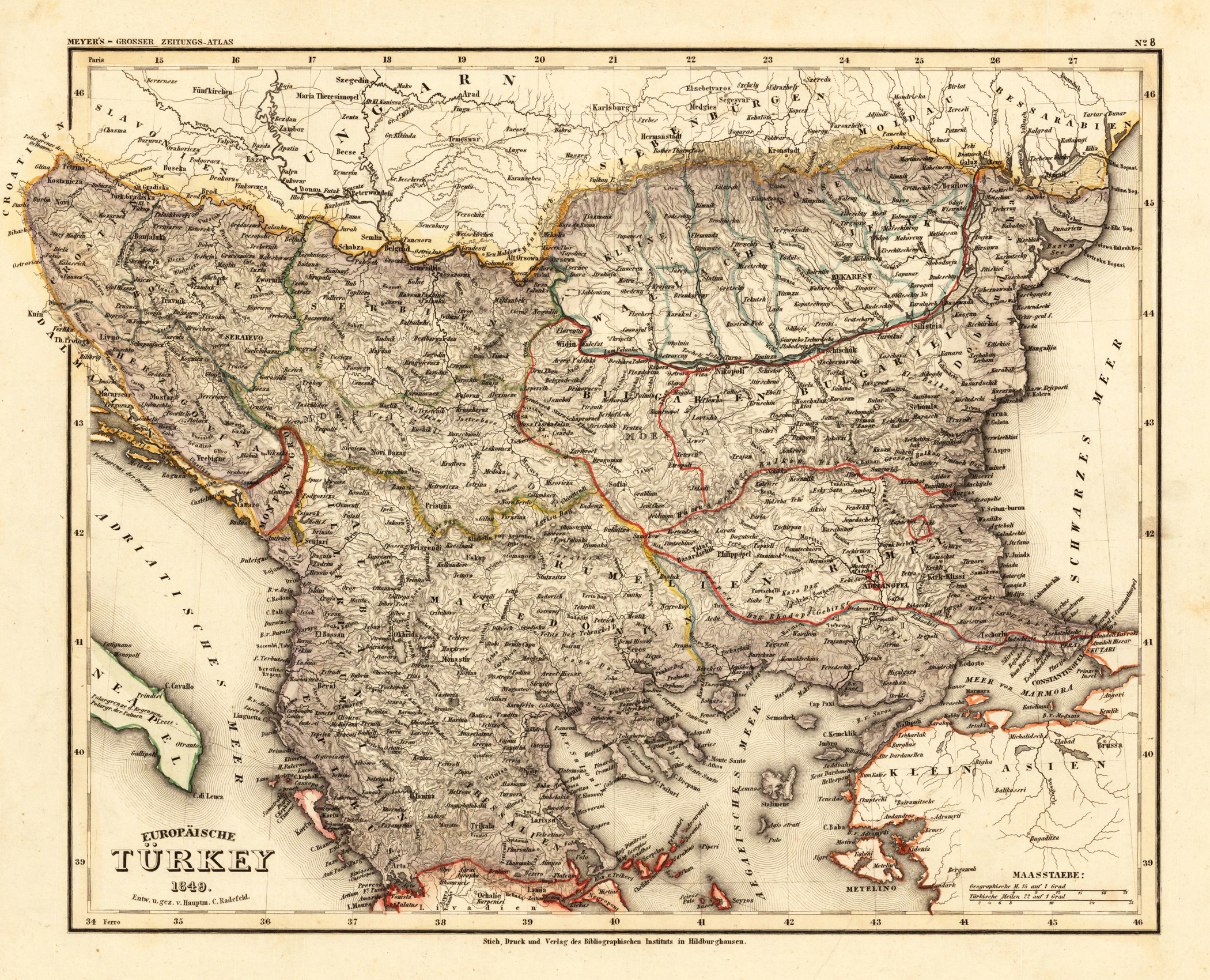
Europäische Türkei 1849. Entw. u. gez. v. Hauptm. C. Radefeld.
Product information: Europäische Türkei 1849. Entw. u. gez. v. Hauptm. C. Radefeld.
Steel engraving, hand colored in outline when published. Detailed map of the Balkan, called in this map the 'European Turkey'. Engraved and drawn by Hauptmann Radefeld, published in Meyer's Zeitungsatlas around 1849. The map shows the Turkish possessions in Southeast Europe during that period. With many detailed place names, rivers, mountains, streets, etc.
Properties
| Category: | Balkan |
|---|---|
| Issue date: | 1849 |
| Published place: | Meyers |
| Publisher: | Hildburghausen |
| Technique: | Steel engraving, original color |
| Type: | Antique Map, map |