
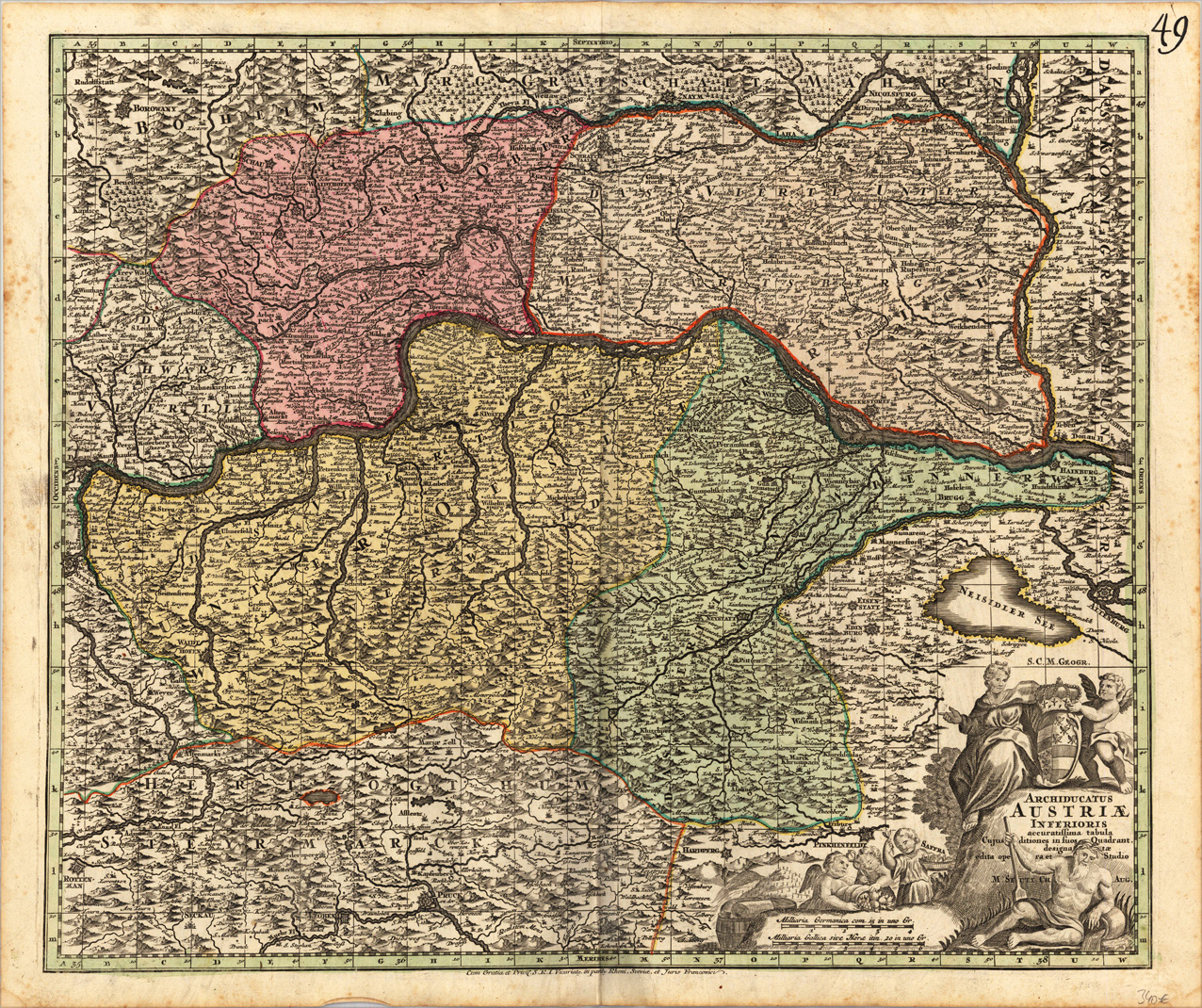
Archiducatus Austriae Inferioris accuratissima tabula Cujus ditiones in suos Quadrant, designatae edita opera et Studio M. Seutt Ch. Aug.
Product information: Archiducatus Austriae Inferioris accuratissima tabula Cujus ditiones in suos Quadrant, designatae edita opera et Studio M. Seutt Ch. Aug.
Copper-engraving, handcolored in wash and outline when published. A strong impression. Decorative map of the archbishopric of lower Austria, in the west from Enns / Danube towards Hainburg east of Vienna. In the north from the neighbouring border of Moravia towards Loeben and Pruck in the neighbouring Steyrmark. An allegoric title cartouche, in the lower right corner, next to it a small mileage scale. The political borders of the archbishopric of lower Austria are shown decorative in wash and outline color. The map with many details like placenames of smaller villages, castles, mountains, rivers, etc.
Properties
| Category: | Lower Austria |
|---|---|
| Issue date: | 1720-40 |
| Published place: | Augsburg |
| Publisher: | M. Seutter |
| Technique: | Copper engraving / Original color. |
| Type: | Antique Map, map |