
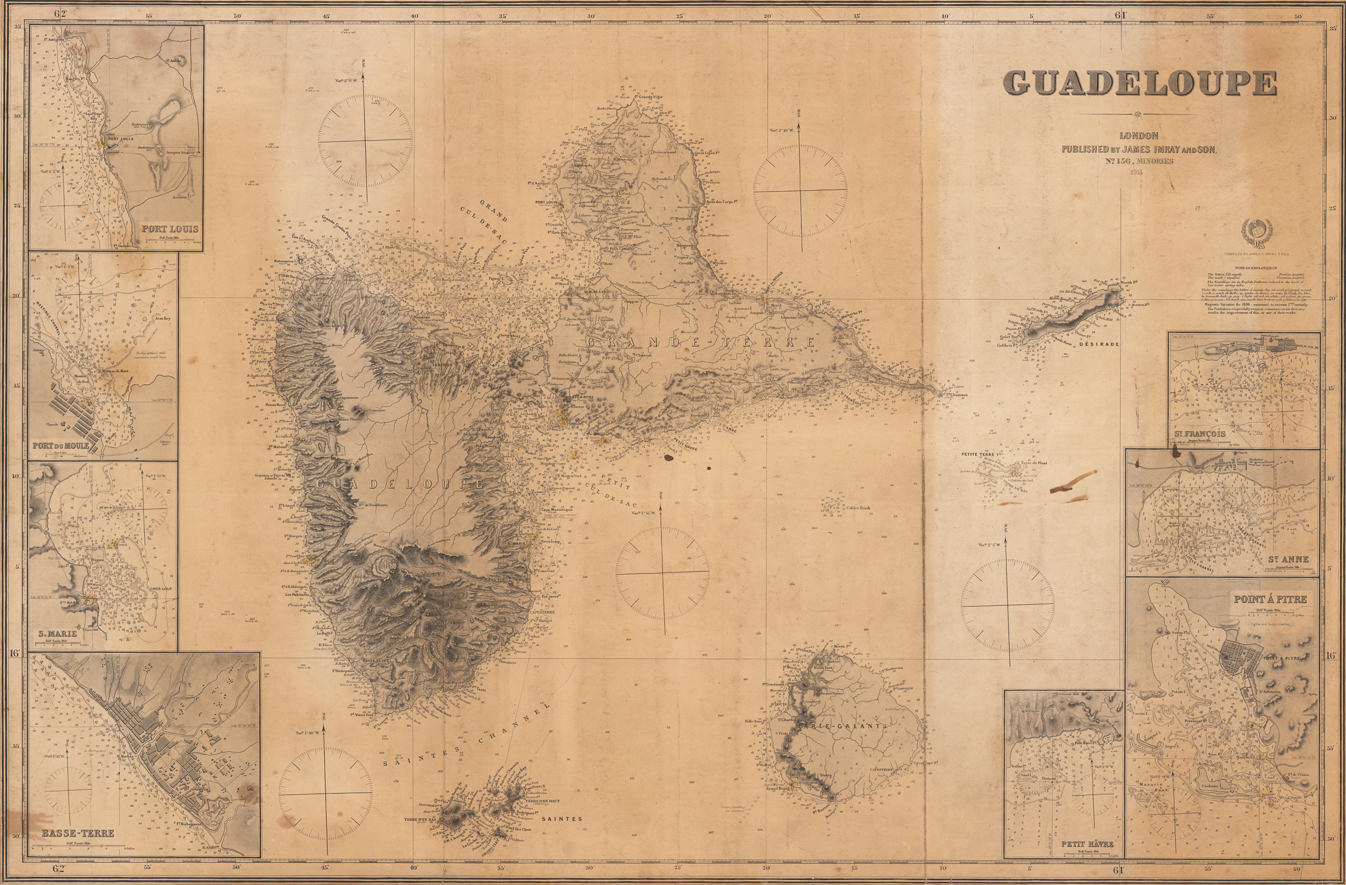
Product information: Guadeloupe
Original antique steel engraving. Large sea chart of Guadeloupe and its surroundings with 8 inset maps of the harbours. Designed very detailed as an aid for navigation at sea, using the Mercator projection, so the position can be taken directly from the map. The chart include chart null, shorelines, fairway markings (inset maps) etc. that might aid navigation.
Properties
| Category: | Atlantic Islands |
|---|---|
| Issue date: | 1914 |
| Published place: | London |
| Publisher: | James Imray and Son |
| Technique: | Steel engraving |
| Type: | map |