
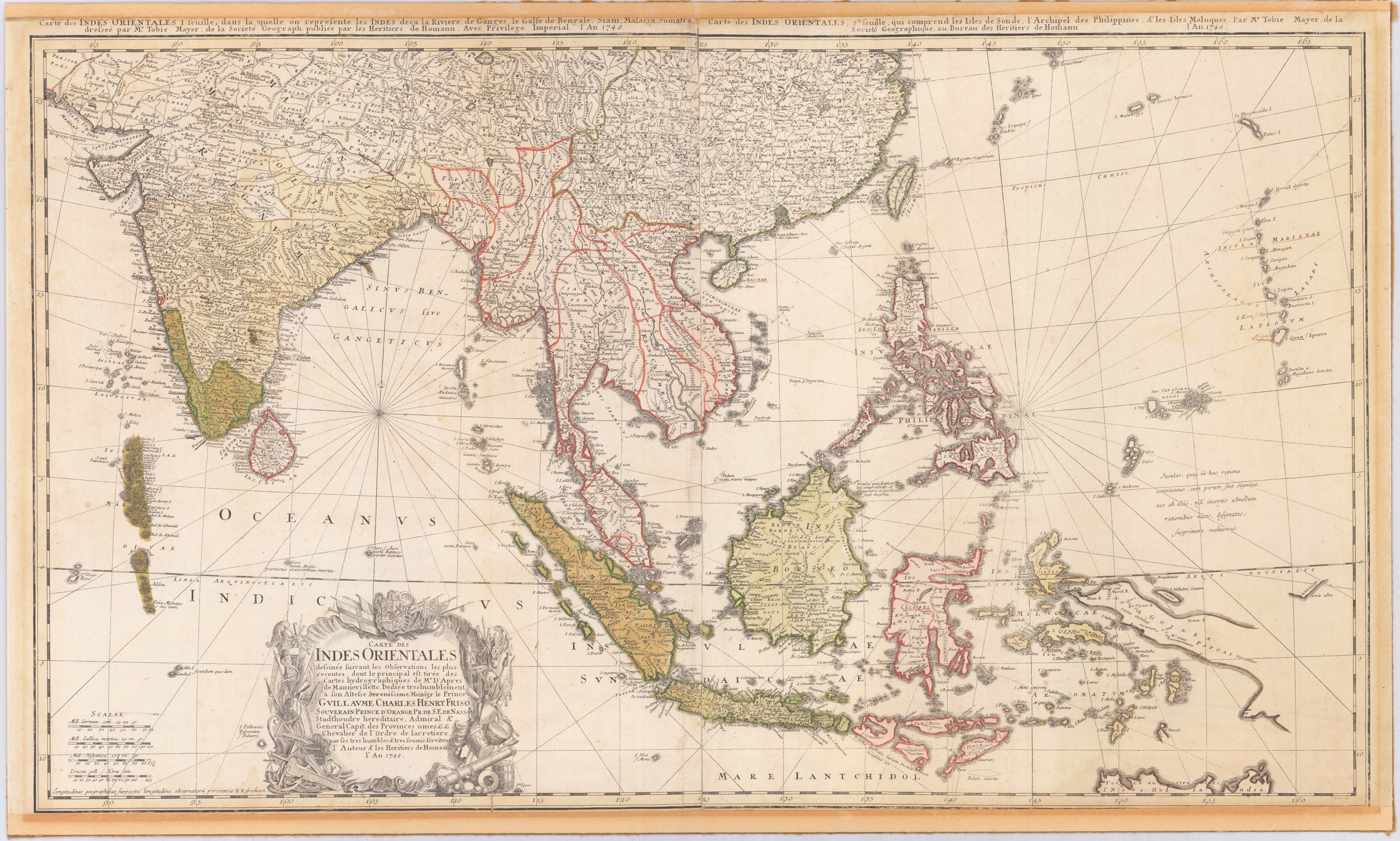
Carte de Indes Orientales dessinee suivant les Observations.
Original engraved map, printed from two plates and handcolored in wash and outline when published. A highly detailed and large map of South East Asia. Published by Homann´s Heirs and engraved after a drawing by Tobias Meyer in 1748. The left half of the map shows India with Delhi all the way to Burma, Vietnam, Laos, Malaysia, Sumatra and Singapore as well as the Maldives with the Indian Ocean. The right half of the map depicts the Philippines, Java, Borneo, Papua New Guinea and Eastern China. The title cartouche can be found on the left bottom including a dedication to the former Prince of Orange - Nassau, Wilhelm IV. Many engraved place names, mountains, rivers, lakes, political border are engraved on the map. The map was printed from two plates, these two sheets were joined together and then pasted down on cardboard. The upper margin cut close to the printed title at the top of the map, the bottom cut close to the engraved printed border line.
| Issue date: | 1748 |
|---|---|
| Published place: | Nürnberg |
| Publisher: | Homann´s Erben |
| Technique: | Copper engraving / Original color. |
| Type: | map |