
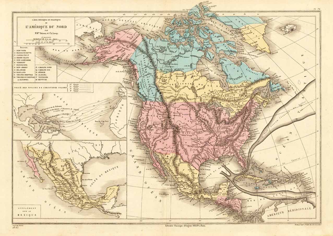
Carte Physique et Politique De L Amerique Du Nord Par MMrs. Drioux et Ch. Leroy.
Product information: Carte Physique et Politique De L Amerique Du Nord Par MMrs. Drioux et Ch. Leroy.
Lithograph, original color in outline and wash. Interesting map of North America around 1870, the political borders are hand colored in wash. It shows as well the new annexed state Alaska, provides information on Indian tribes, rivers, mountain heights. Equipped with two inset maps: One is showing the traces of the landing of Christopher Columbus in the West Indies, the other is a supplemental map on Mexico. Of further interest is the nicely engraved floating Gulf Stream in the Atlantic Ocean.
Properties
| Category: | North America |
|---|---|
| Issue date: | 1870 |
| Published place: | Paris |
| Technique: | Lithograph / Original color. |
| Type: | Antique Map, map |