
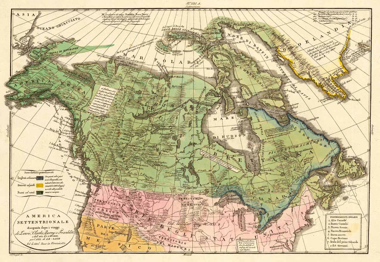
America Settentrionale disegnata dopo i viaggi di Lewis, Clarke, Parry e Franklin e dall Atl. di J. A. Buchon; per l Atl. di Le-Sage Ed. di Girol. Tasso in Venezia 1832.
Product information: America Settentrionale disegnata dopo i viaggi di Lewis, Clarke, Parry e Franklin e dall Atl. di J. A. Buchon; per l Atl. di Le-Sage Ed. di Girol. Tasso in Venezia 1832.
Copper engraving, hand colored in wash when published. This map of North America published by G. Tasso in Venice is based on Le Sage's and Buchon's earlier map of North America. The title cartouche also refers to the earlier explorations In North America by Lewis & Clark, Parry and Franklin. The impressive map shows North America from Greenland over the Hudson Bay towards Alaska in the very far Northwest. The Missouri and Oregon territories are nicely shown on the map. At the left side a small table with color explanations for the various possessions in North America. An interesting map for the collector of the history of the North America.
Properties
| Category: | North America |
|---|---|
| Issue date: | 1832. |
| Published place: | Venice |
| Technique: | Copper engraving / Original color. |
| Type: | Antique Map, map |