
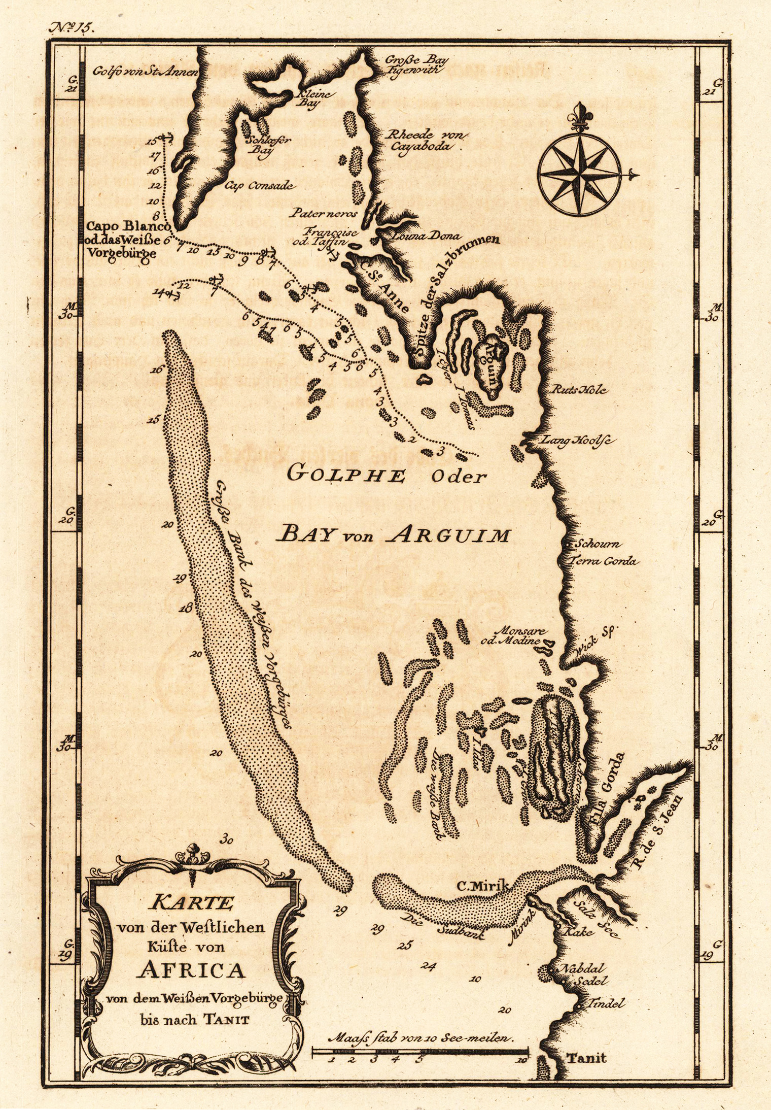
Karte von der westlichen Küste von Africa von dem weißen Vorgebürge bis nach Tanit.
Product information: Karte von der westlichen Küste von Africa von dem weißen Vorgebürge bis nach Tanit.
Copper engraving, uncolored as published. A very nice and detailed map, which shows the Bay of Arguim. In the lower left corner we see the title cartouche with a mileage scale. In the upper right corner we see a compass rose. A fine detailed and interesting map engraved by Bellin after earlier voyages. Published in the German edition by Schwabe in Leipzig of Bellin's travel books.
Properties
| Category: | Gulf of Arguim (West Africa) |
|---|---|
| Issue date: | 1748 |
| Published place: | Leipzig |
| Publisher: | Merkur |
| Technique: | Copper engraving / Uncolored |
| Type: | Antique Map, map |