
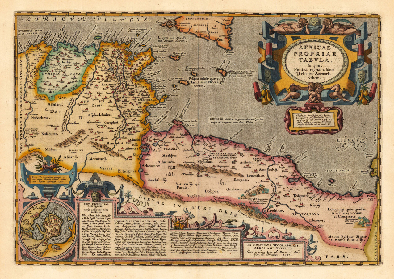
Africae propriae tabula. In qua, Punica regna uides; Tyrios, et Agenoris urbem.
Product information: Africae propriae tabula. In qua, Punica regna uides; Tyrios, et Agenoris urbem.
Original copper engraving, published 1624 in the famous historical Atlas "Parergon" (Latin text-edition) by Abraham Ortelius. Finely later hand-colored in wash and outline. A highly decorative antique map of North Africa showing parts of Algeria, Tunesia and Lybia including islands along the North African coast and the southern tip of Sicily. This fine historical map is further equipped with an inset map of the historical place Carthago with the neighboring Tunis. The map is ornated with a highly decorative Renaissance title cartouche in the upper right corner and an inset with text cartouches in the lower bottom of the map with extensive Latin historical descriptions and listings of place names. Villages and towns are shown as miniature views, also mountains and rivers are engraved on the map.
Properties
| Category: | North Africa |
|---|---|
| Issue date: | 1624 |
| Published place: | Antwerp |
| Publisher: | Juan Baptist Vrients |
| Technique: | Copper engraving / later hand color |
| Type: | Antique Map, map |